|
This is the low resolution page of my Alaska 2000 trip. For those with a broadband connection you can visit my high resolution page by clicking HERE. This page also contains seven videos from this trip! JULY 2000 On the first day of my trip I flew to Fairbanks, Alaska. I left Indianapolis early in the morning and arrived in Fairbanks at about 2:30 in the afternoon local time. I had to change planes in Minneapolis and Seattle enroute.
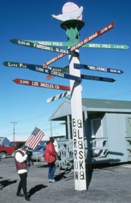
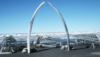
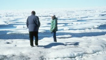
into the Arctic Circle. Barrow is the northernmost community in North America. The sun does not set here between May 10th and August 2 each summer, and does not rise between November 18th and January 24th each winter. The picture on the left is part of the Wiley Post-Will Rogers Memorial. They were killed here in 1935 after their plane crashed. The upper right photo is looking out onto the Chukchi Sea through the bone arch of a bowhead whale. The lower right picture shows the omnipresent icepack of the Arctic Ocean.
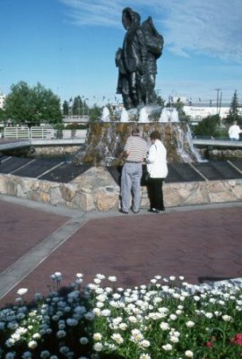
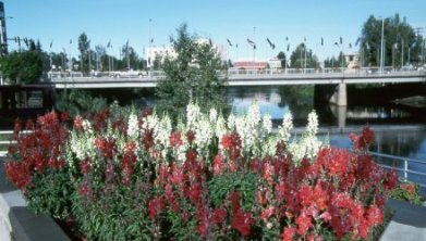
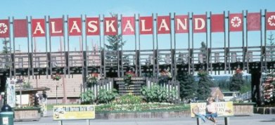
photo is of Golden Heart Plaza and The Unknown First Family. The Upper right picture looks across Golden Heart Plaza and The Chena River toward The Bridge of Flags. Alaskaland is a 44 acre historical theme park and family recreation area. I also did some gold panning at the El Dorado Goldmine. I didn't exactly strike the motherload, but was able to bring home a few small pieces as a souvenir.
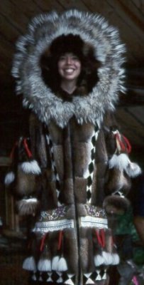
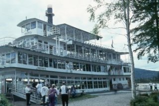
Chena and Tanana Rivers aboard the Riverboat Discovery III. On the way down we made a short stop at the home of Dave Monson and Susan Butcher, four time Iditarod Champion. On the way back up the river we made a visit to Old Chena Indian Village. There we got to see the champion Iditarod dog team in action. This is also where one of the cute native guides (above left) modeled a handmade Athabascan coat. 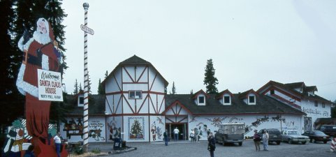 After leaving Fairbanks I headed south on the Richardson Highway. My first stop was in North Pole, Alaska. This is one of Alaska's most unique communities. It is best known as the home of Santa Claus House where I did a little shopping. All the street lights in town look like giant candy canes.
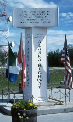
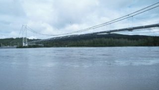
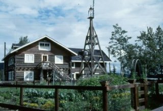
of Delta Junction. This is the true end of the famous Alaska Highway which begins 1422 miles southeast in Dawson Creek, British Columbia. The obelisk in the above left photo marks Milepost 1422. The above right photo is the Alaska Pipeline crossing the Tanana River just east of town. Rika's Road House on the lower right has been an Alaskan landmark since 1910.
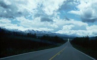
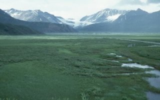
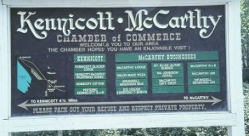
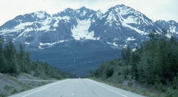
Pipeline pretty much paralled my journey down the highway. The route climbs to tundra meadows dotted with numerous lakes and streams and watched over by sprawling glaciers. Scenic views of the Chugach and Alaska mountain ranges are numerous and breathtaking. 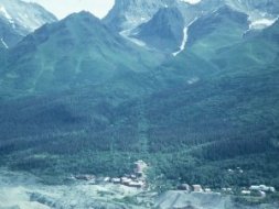 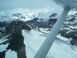  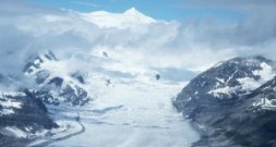 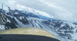 The spectacular beauty of America's second largest national park makes it well worth the trouble it takes to get here. Unless you want to travel on an unimproved one-lane gravel road for over three hours, you will opt to fly into this remote area. After spending the night in Glennallen I drove to Chitna where I boarded a small plane for the flight to McCarthy. I got on another small plane here (middle picture) for a breathtaking 70 minute flight seeing trip. In the above left photo you can see the ghost town of Kennicott shortly after takeoff. In the lower left photo you can see one of the numerous glaciers we flew over with 16,000+ foot Mt. Wrangell looming in the background. The courteous and knowledgeable pilots of Wrangell Mountain Air were wonderful.
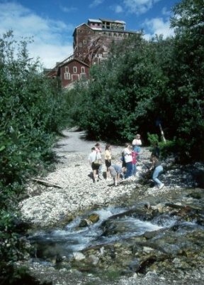
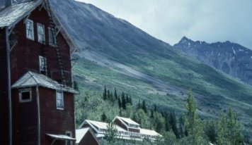
McCarthy sprang up in 1910 with the development of the massive high grade copper deposits at the Kennicott Mine (right photo) and flourished until 1938 when it was abandoned. The Kennicott Lodge can be seen lower left.
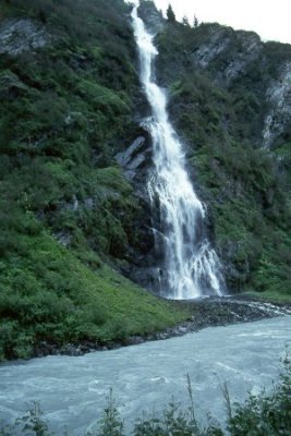
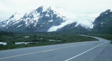
the flight back to Chitna. I then continued down the Richardson Highway to Valdez. Above left is Bridal Veil Falls in beautiful Keystone Canyon. Mount Billy Mitchell is pictured above right and Worthington Glacier lower right.  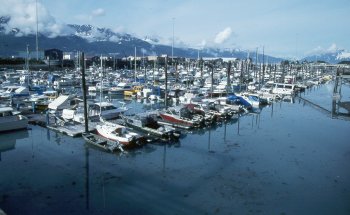 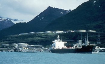 The picturesque Valdez harbor is shown on the left and the Trans-Alaska Pipeline Terminus on the right.
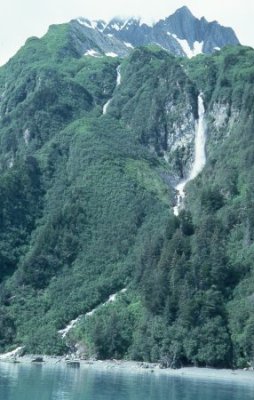
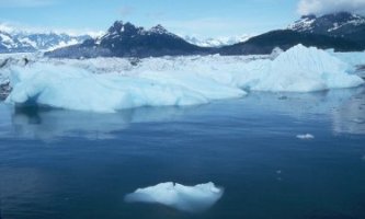
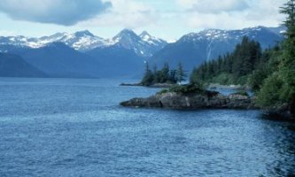
my stay in Valdez. Pictured on the right is Anderson Falls. Columbia Glacier is seen in the upper right photo. 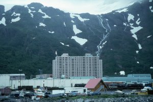 I crossed the whole of Prince William Sound the next day on the Alaska Marine Highway Ferry. Pictured above is the small community of Whittier where I got off the ferry. It had been a nearly flawless vacation up until this point. Unfortunately the bad weather would ruin the rest of the trip.
Homer and the Kenai Peninsula were washed out. 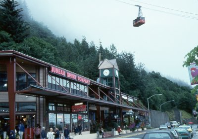 Pictured above is the Mount Roberts Tramway in downtown Juneau. I returned home from Juneau two days early when my plans were cancelled due to the weather. This was my second trip to Alaska. Click HERE to take a look at my 1994 trip. Click on the banner below for my latest trip to Alaska in June 2007.  
| |||||||||||||||||||||||||||||||||||||||||||||||||||||
