(Arizona Flag)
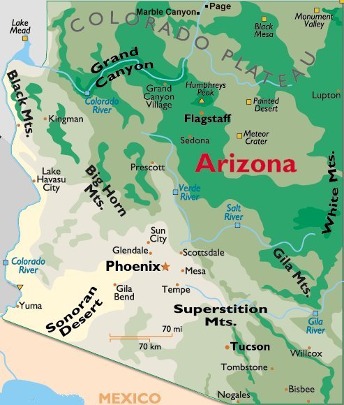
(Arizona Map)
FRIDAY, JUNE 4, 2010:
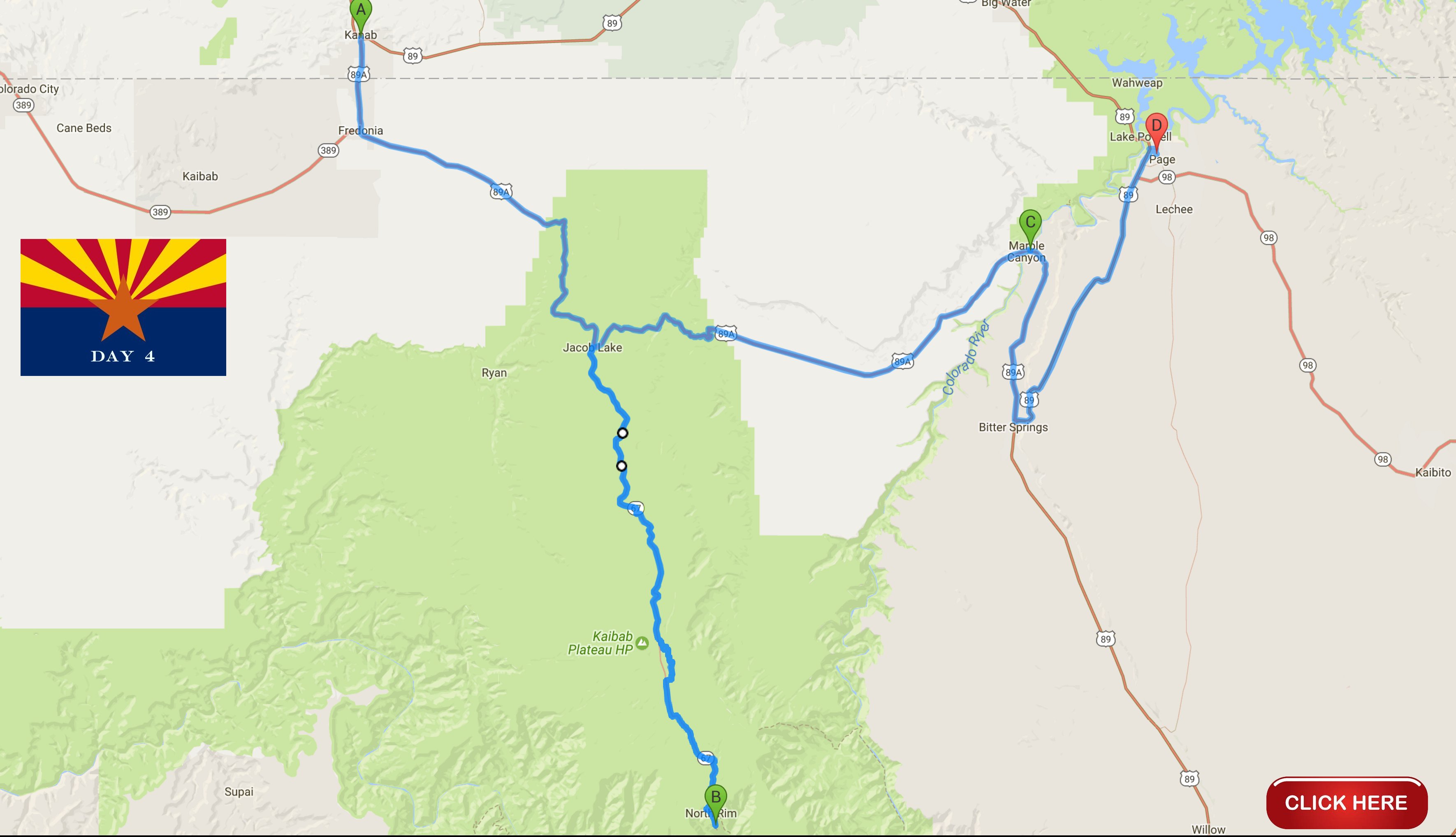
I would drive a total of about 240 miles today.
All of the images below are thumbnails and can be clicked on for a larger image.
On Friday morning it was a beautiful drive through northern Arizona to the North Rim of the Grand Canyon.

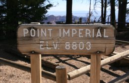
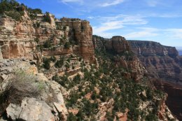
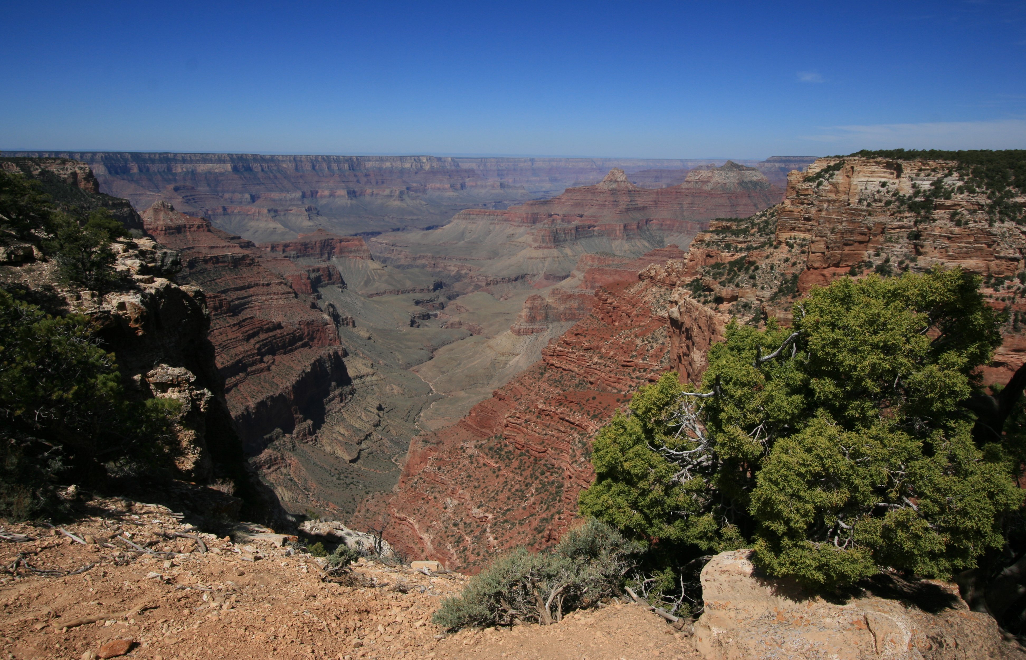
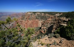
I began my visit to the North Rim by taking the scenic drive to Point Imperial and Cape Royal.
Point Imperial, the highest point on the North Rim at 8,803 feet, overlooks the Painted Desert and the
eastern end of the Grand Canyon. Here the canyon transforms as the narrow walls of Marble Canyon,
visible only as a winding gash, open dramatically to become �grand.�
Layers of red and black Precambrian rocks add contrast and color.
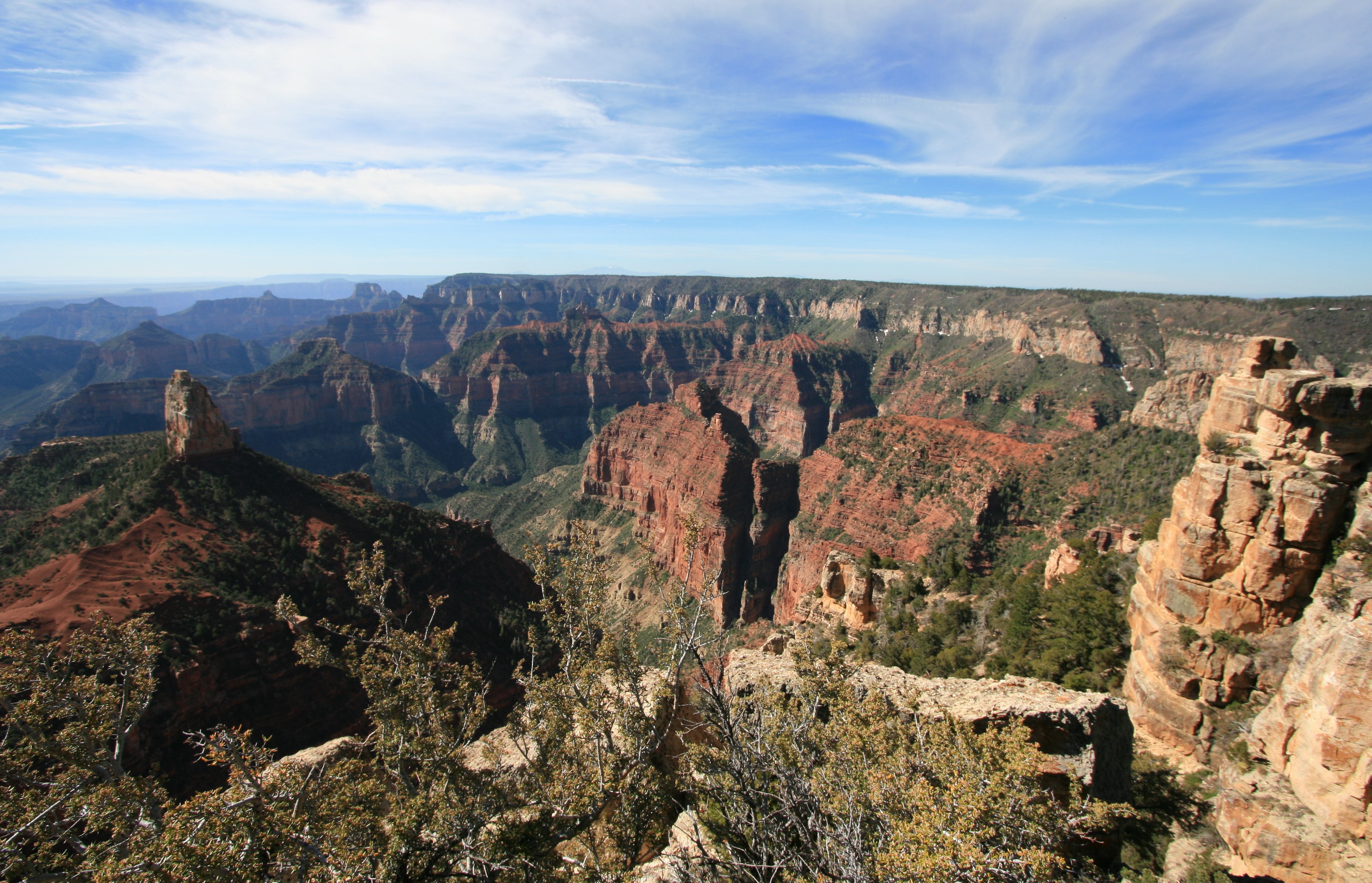
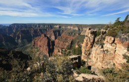
A nice thing about this area of the park is no crowds.
I was there early in the day and pretty much had the park to myself.
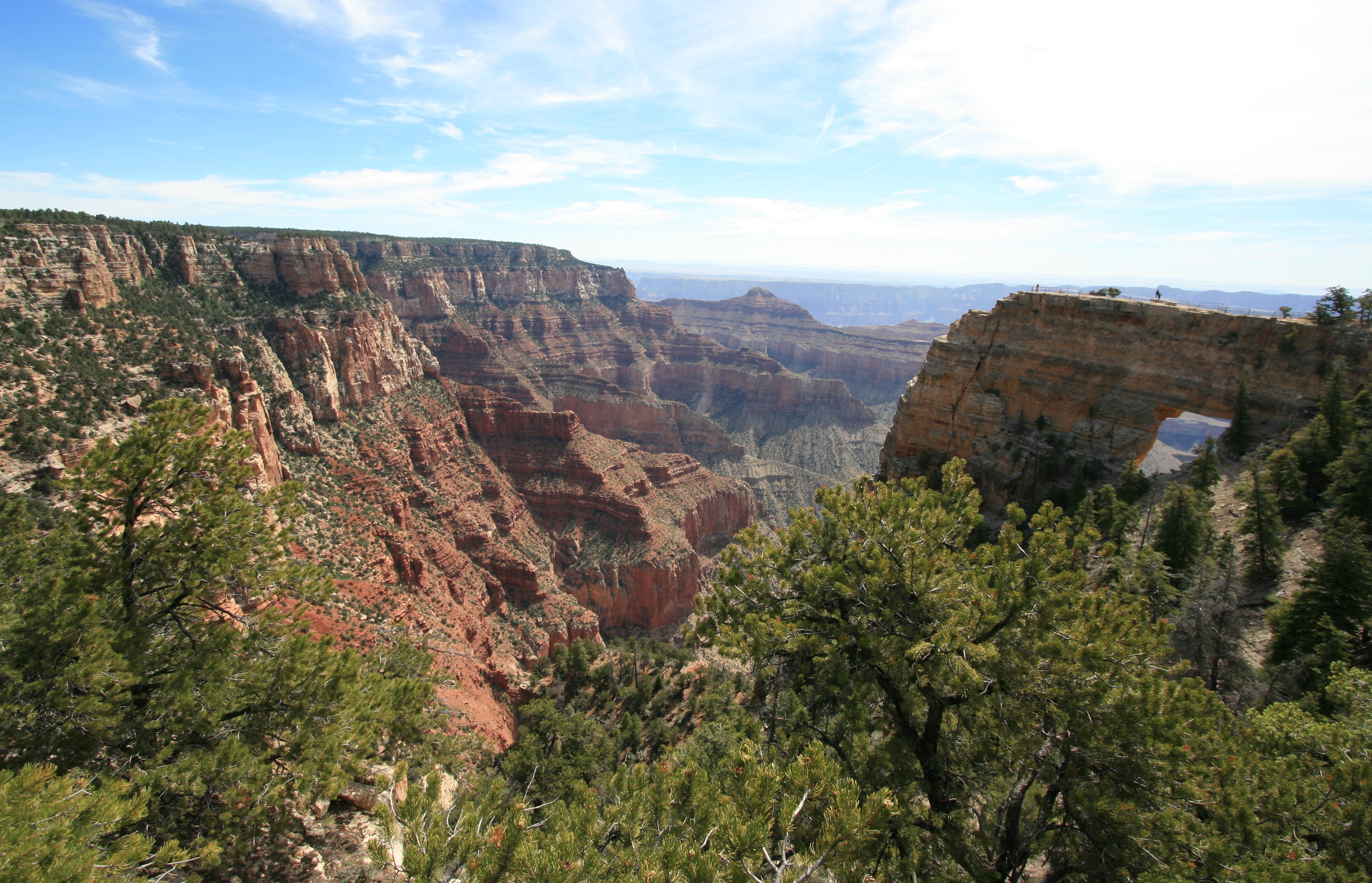
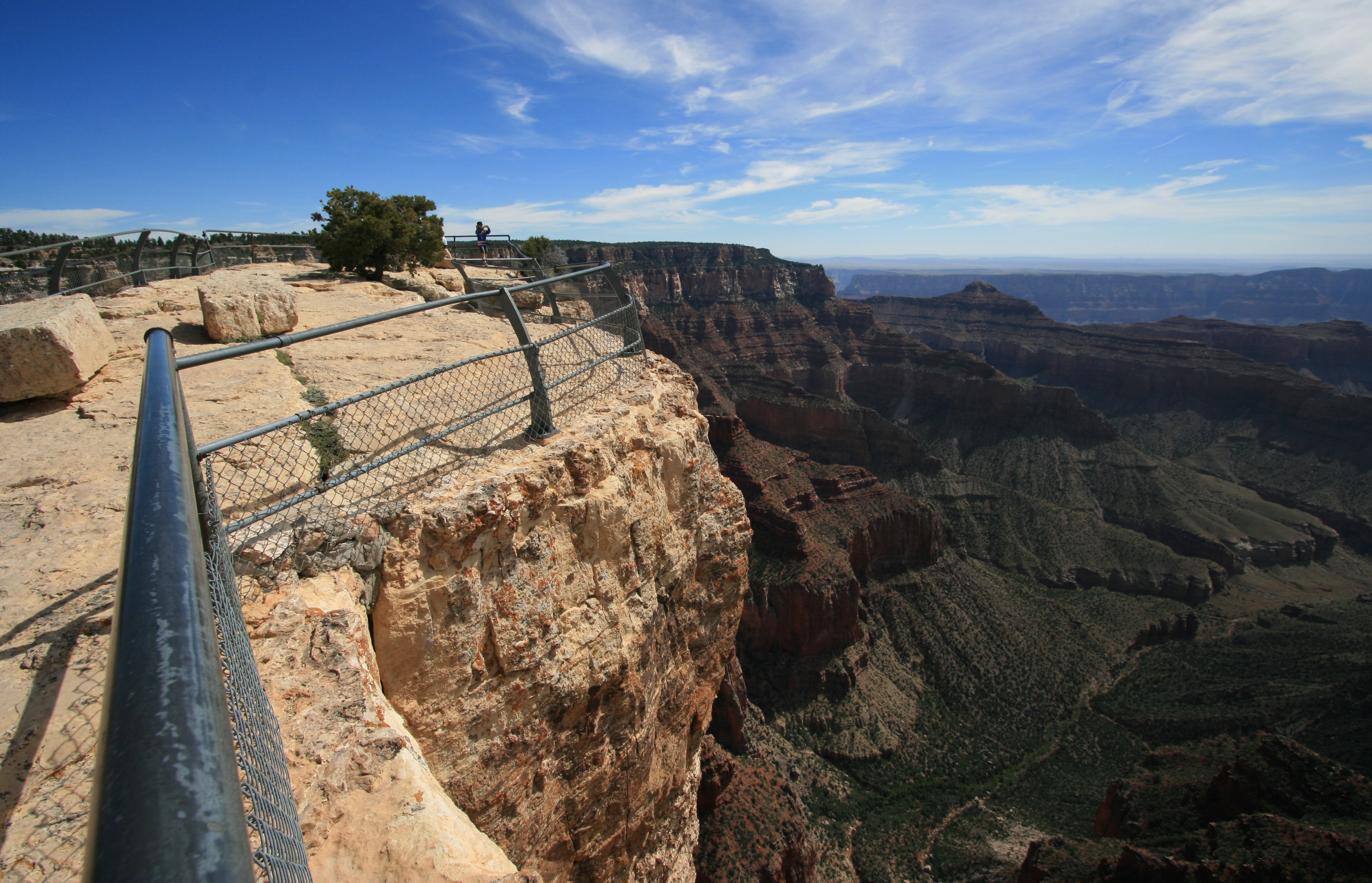
The three pictures below were not taken from any viewpoint. I noticed the nice view of Angel's Window
so I walked out to the edge of the canyon to snap a few photos.
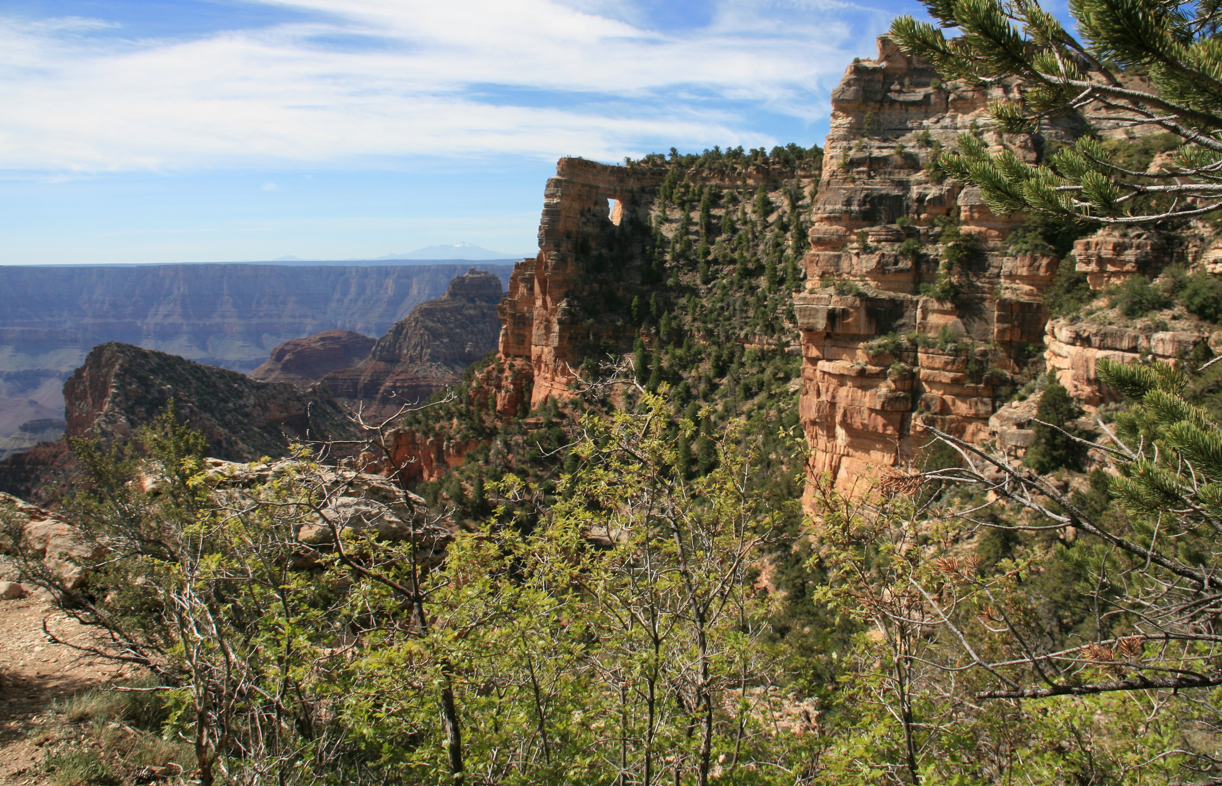
Angels Window is a natural arch in the Kaibab limestone which frames a little section of the Colorado River,
5,000 feet below and 6 miles distant. A short, railing protected side path leads across the narrow neck
of land on top of the window, stopping at a fine viewpoint right at the edge of the cliffs.
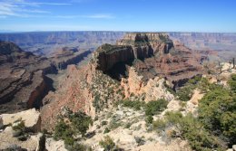
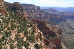
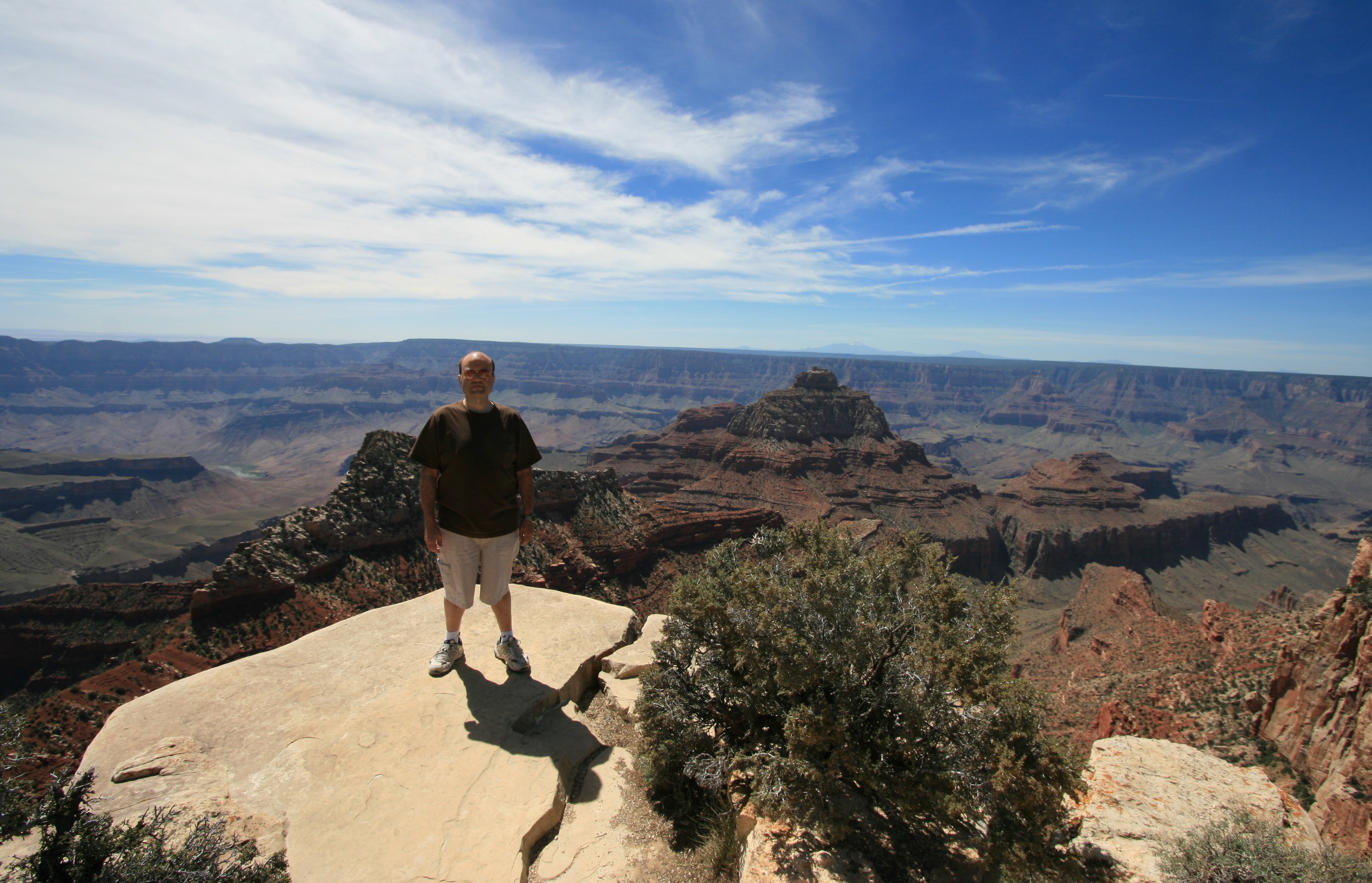
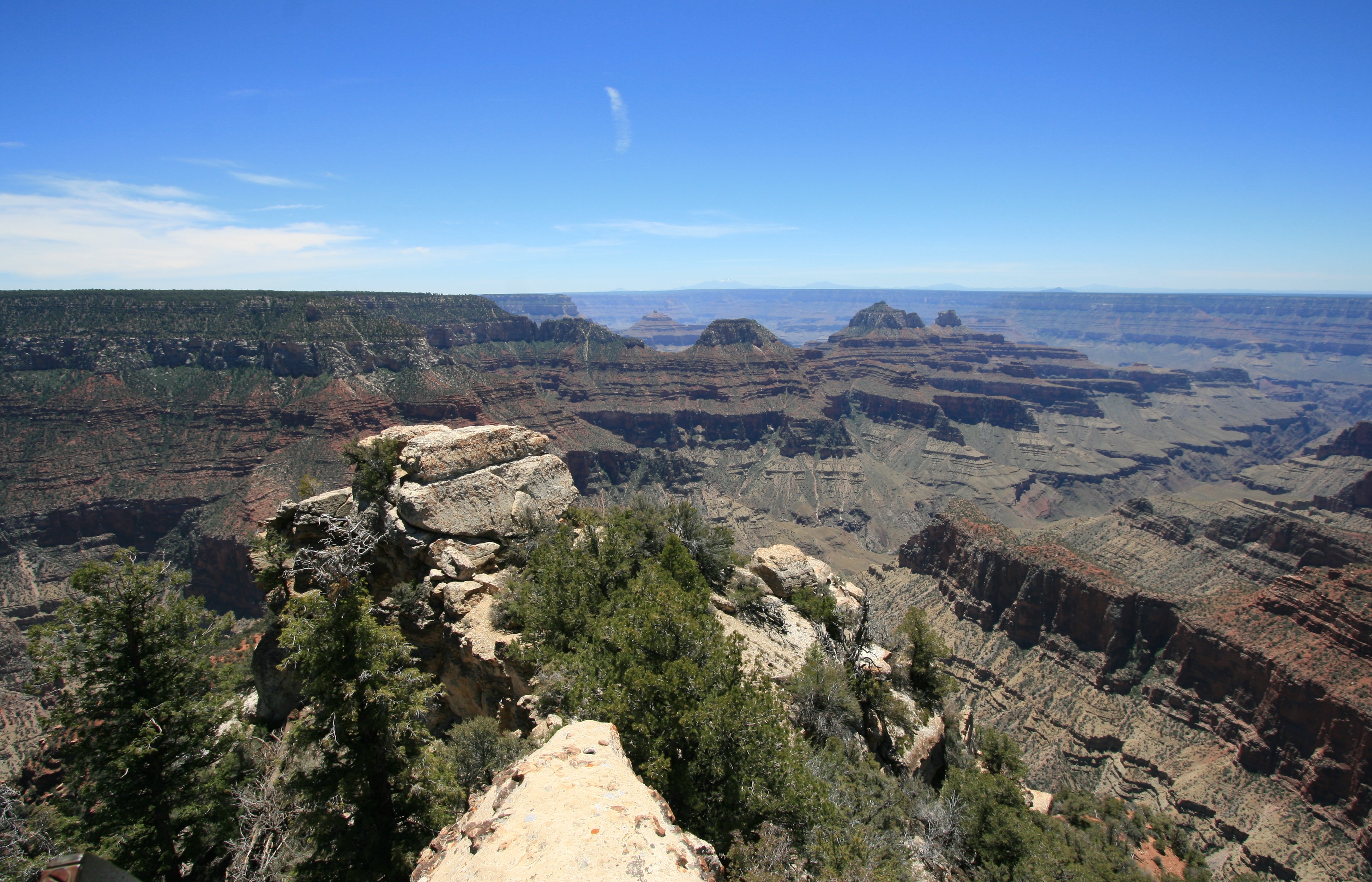
Cape Royal is the southernmost viewpoint on the North Rim,
and it has the widest panorama of any Grand Canyon overlook.
The great gorge occupies about 270� of the horizon, from Marble Canyon in the north,
south over Palisades of the Desert, and westwards for many miles
towards the main South Rim visitor area around Garden Creek.
Of all the Grand Canyon viewpoints I have visited, I think Cape Royal has has the best view.
The picture on the lower left is me on the edge of the canyon at Cape Royal.
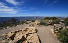
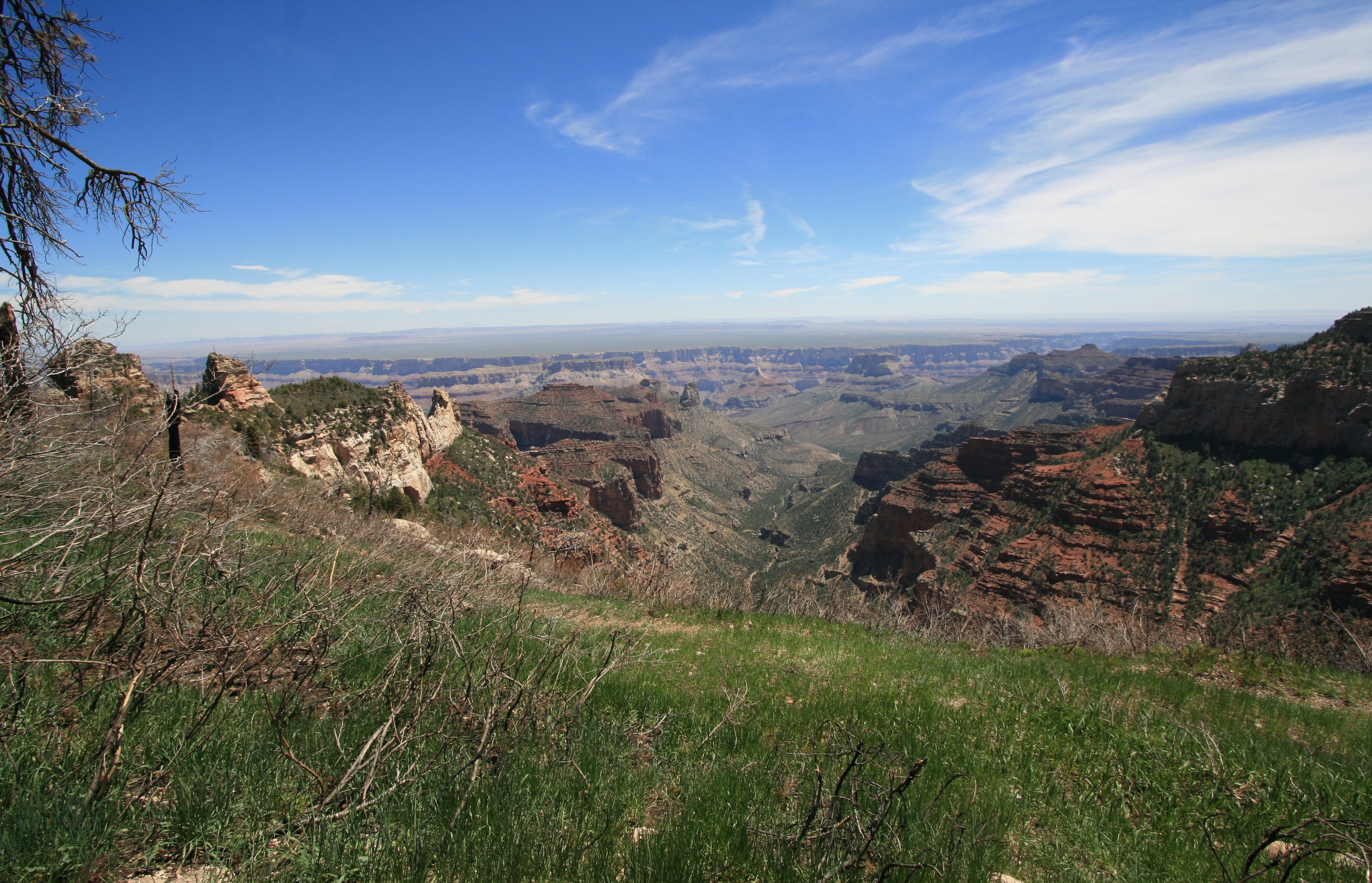
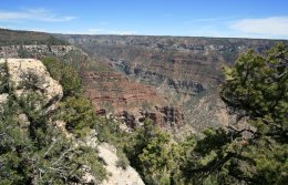
The middle picture below is Roosevelt Point. Roosevelt is a relatively recent addition to the north rim points.
It was dedicated in 1990 to commemorate the 26th president, who was instrumental in the creation of the park.
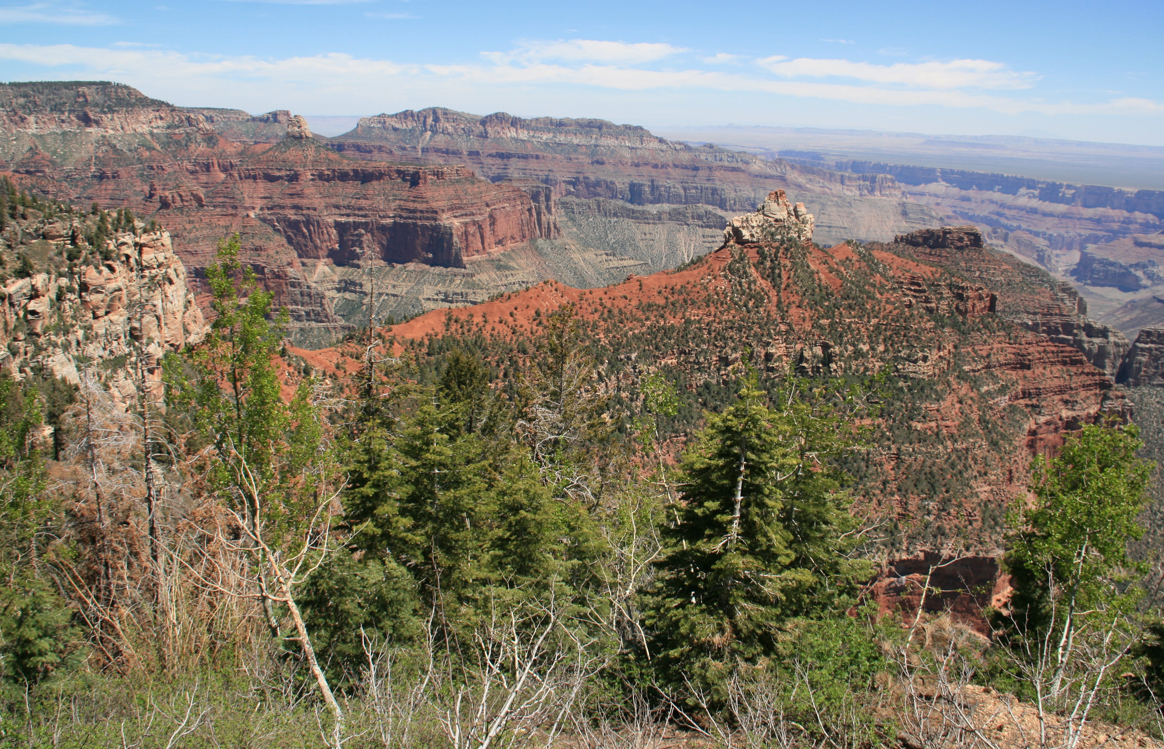
Vista Encantada (lower right picture) is at 8480 feet and overlooks the vast Nankoweap Canyon section.
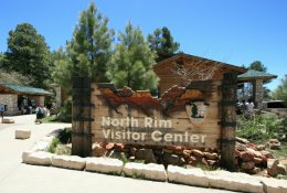
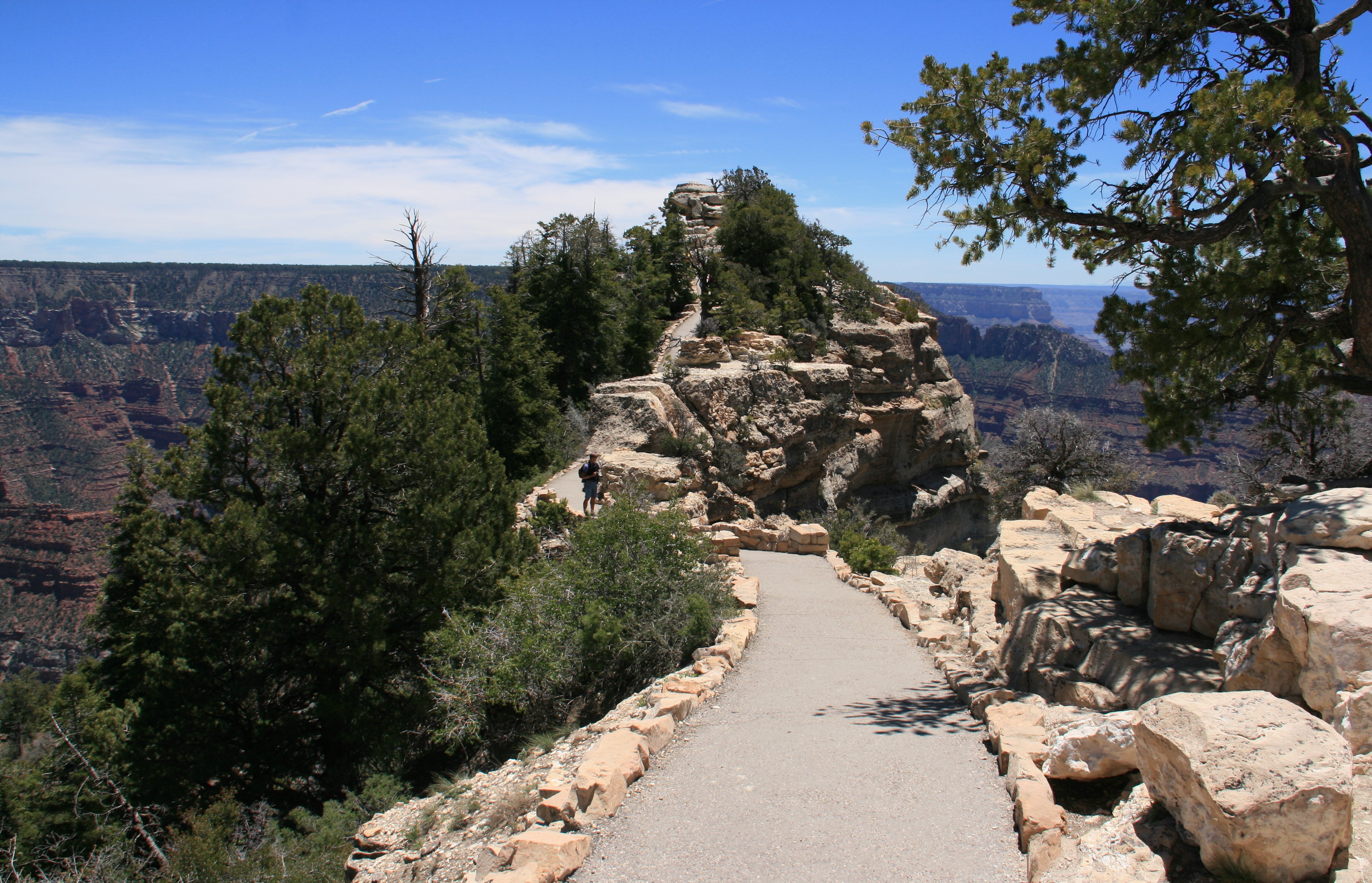
After I finished with the scenic drive I visited Bright Angel Point behind the North Rim's Visitor Center.
Bright Angel Point is by far the most popular viewpoint at the North Rim of the Grand Canyon.
Many visitors go nowhere else, since the other overlooks reachable by road need quite a few more miles to reach.
The promontory at Bright Angel tapers to a very narrow ridge with steep drop offs at either side.
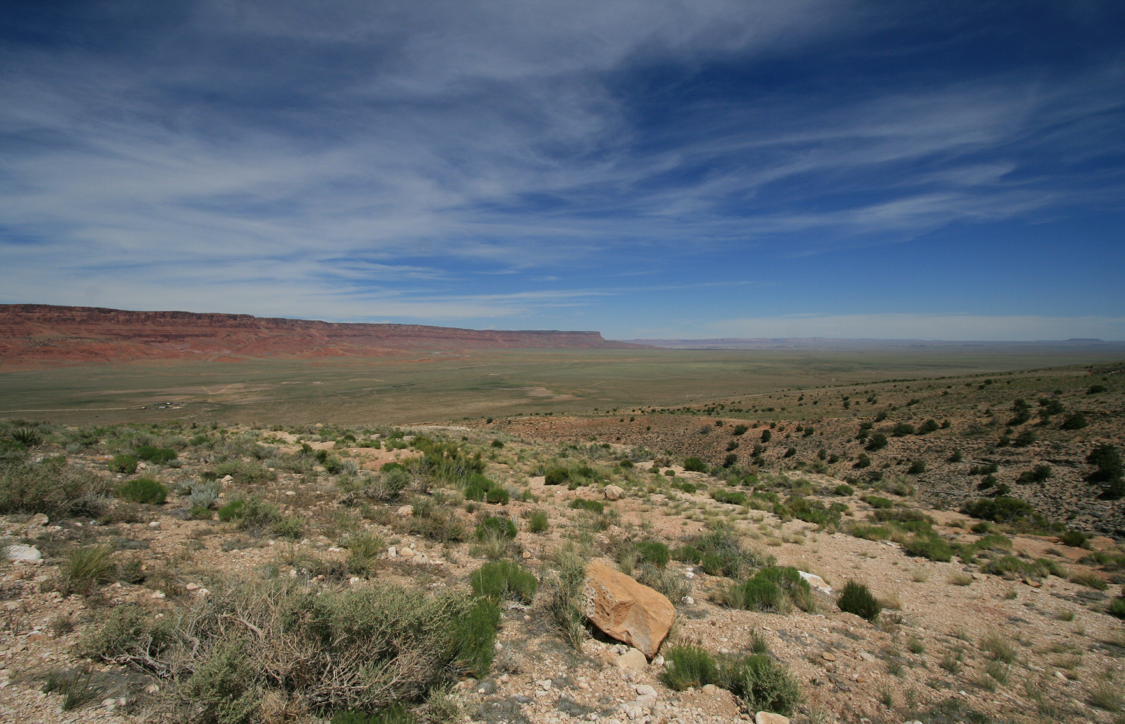
After finishing my activities at the North Rim it was about a 120 mile drive to Page, Arizona.
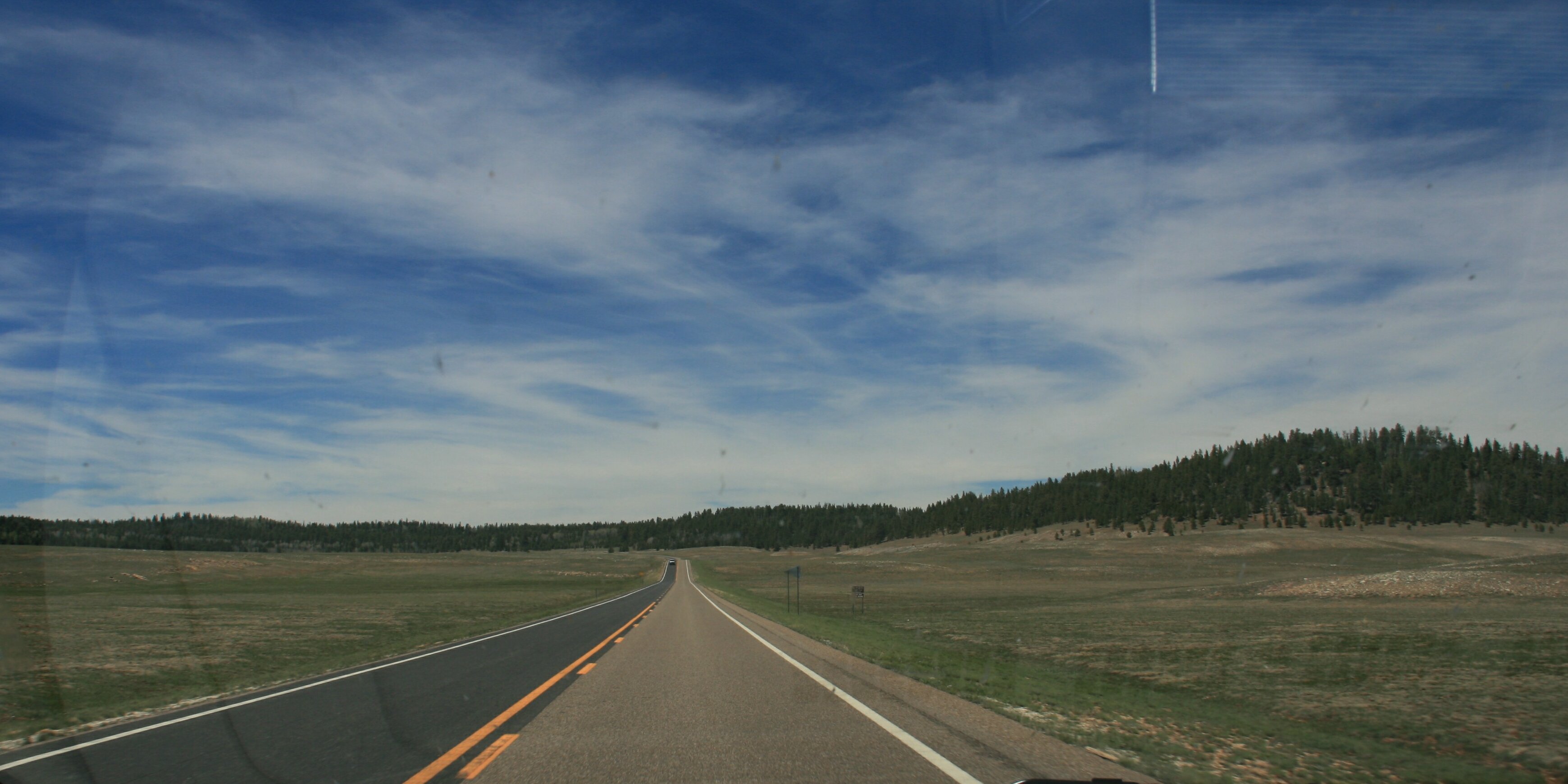
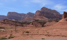
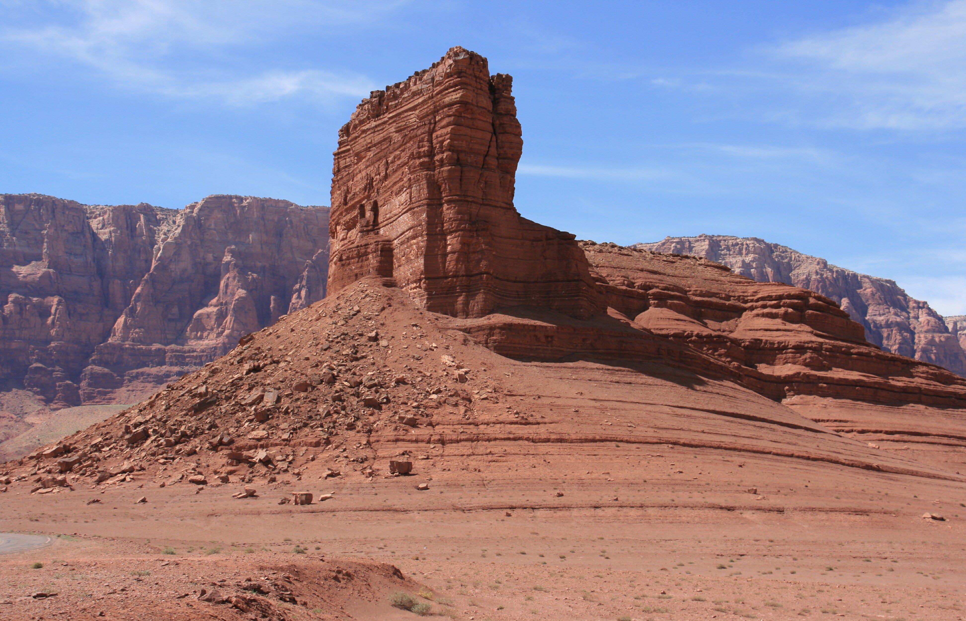
There was a nice view along US89A as were descending from the mountains into the desert.
The Vermilion Cliffs are the second "step" up in the five-step Grand Staircase of the Colorado Plateau.
Reddish or vermilion-colored cliffs are found along U.S. Highway 89 and U.S. Highway 89A.
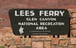
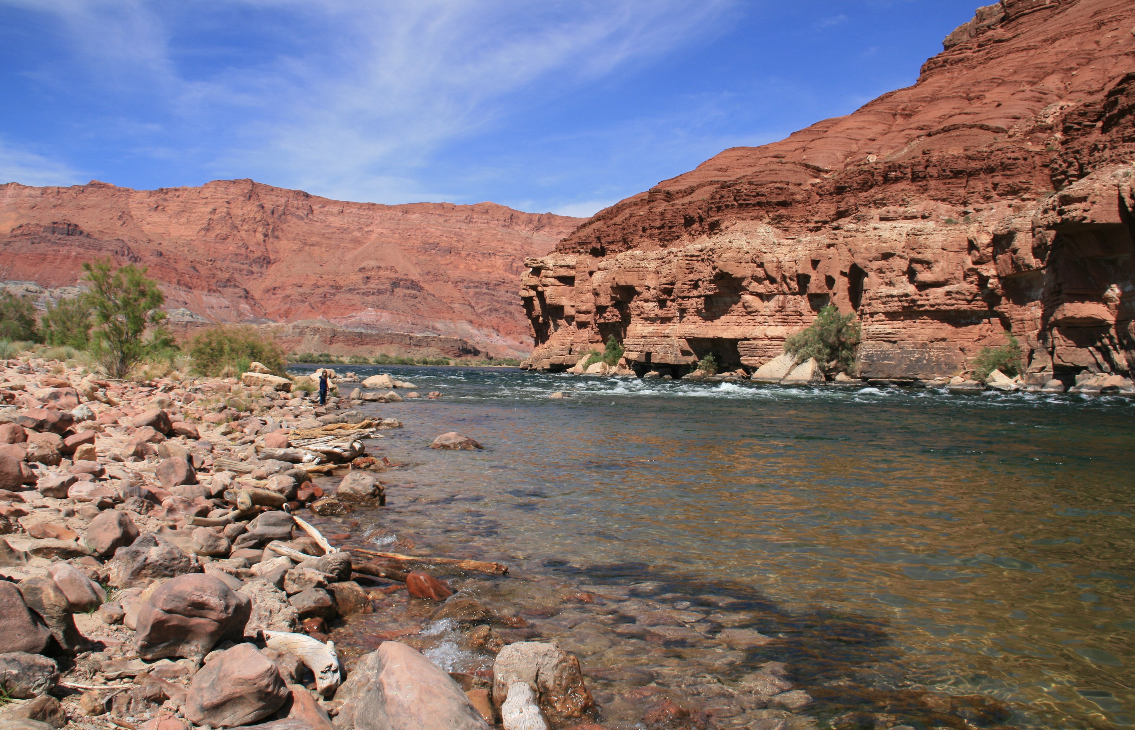
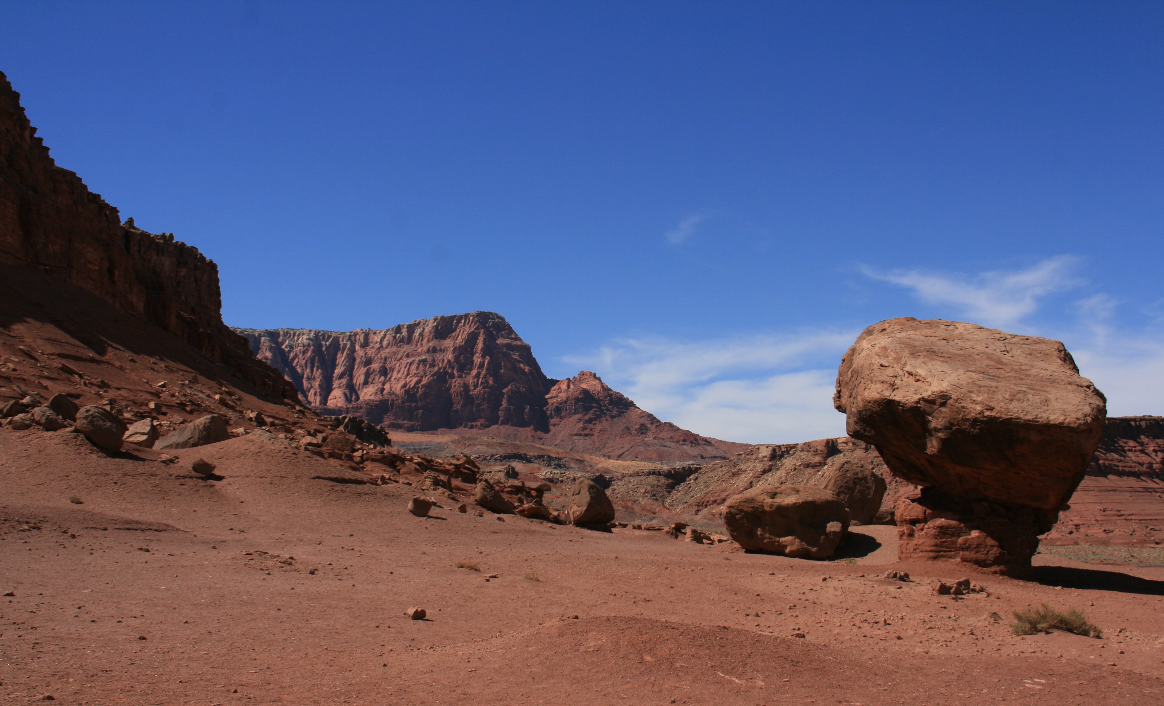
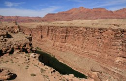
Lees Ferry is the only place within Glen Canyon where visitors can drive to the Colorado River.
Here at the very start of the Grand Canyon, adventurous river runners launch their boats for trips down the canyon.
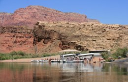

Lee�s Ferry lies in a rocky but comparatively open valley, just upstream of where the Paria River empties
into the Colorado River. The Echo Cliffs, to the east, rise nearly 2000 feet above the valley floor.
The Paria Plateau, to the west, rises nearly 3000 feet.
The deeply entrenched Glen Canyon lies upstream, on the Colorado.
The deeply entrenched Marble Canyon lies downstream, channeling the Colorado River�s
surging waters into Grand Canyon. With the canyons on either side standing as impassable barriers,
early travelers knew that they had to cross the Colorado River in the vicinity of the
Lee�s Ferry valley, or they had to trek hundreds of miles up or downstream.
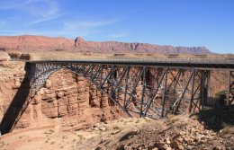
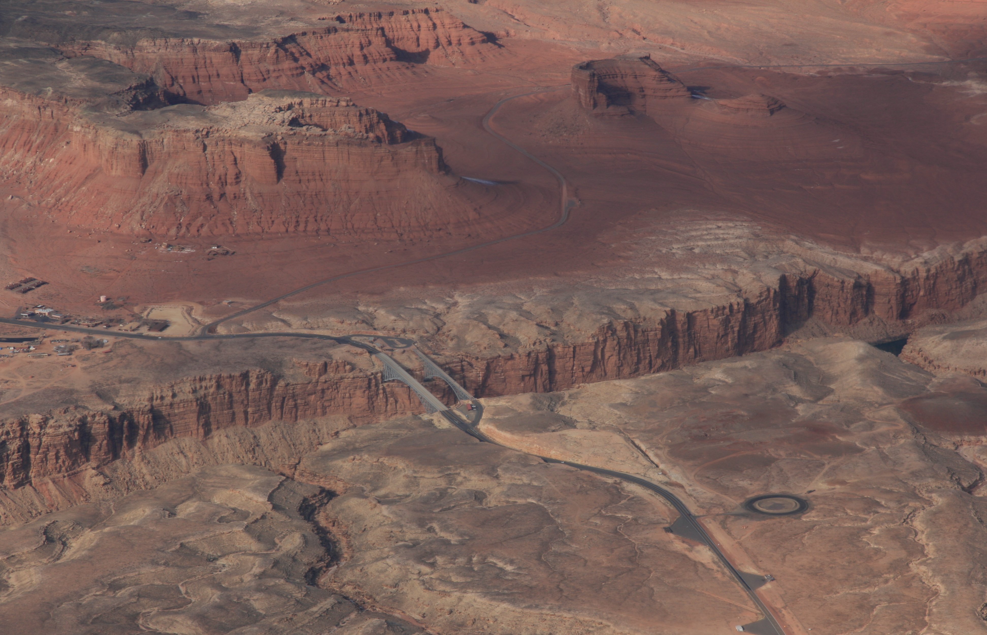
Navajo Bridge crosses the Colorado River's Marble Canyon near Lee's Ferry.
Apart from the Glen Canyon Bridge a few miles upstream at Page, Arizona,
it is the only roadway crossing of the river and the Grand Canyon for nearly 600 miles.
These two bridges, one historic and one new,
represent one of only seven land crossings of the Colorado River for 750 miles.
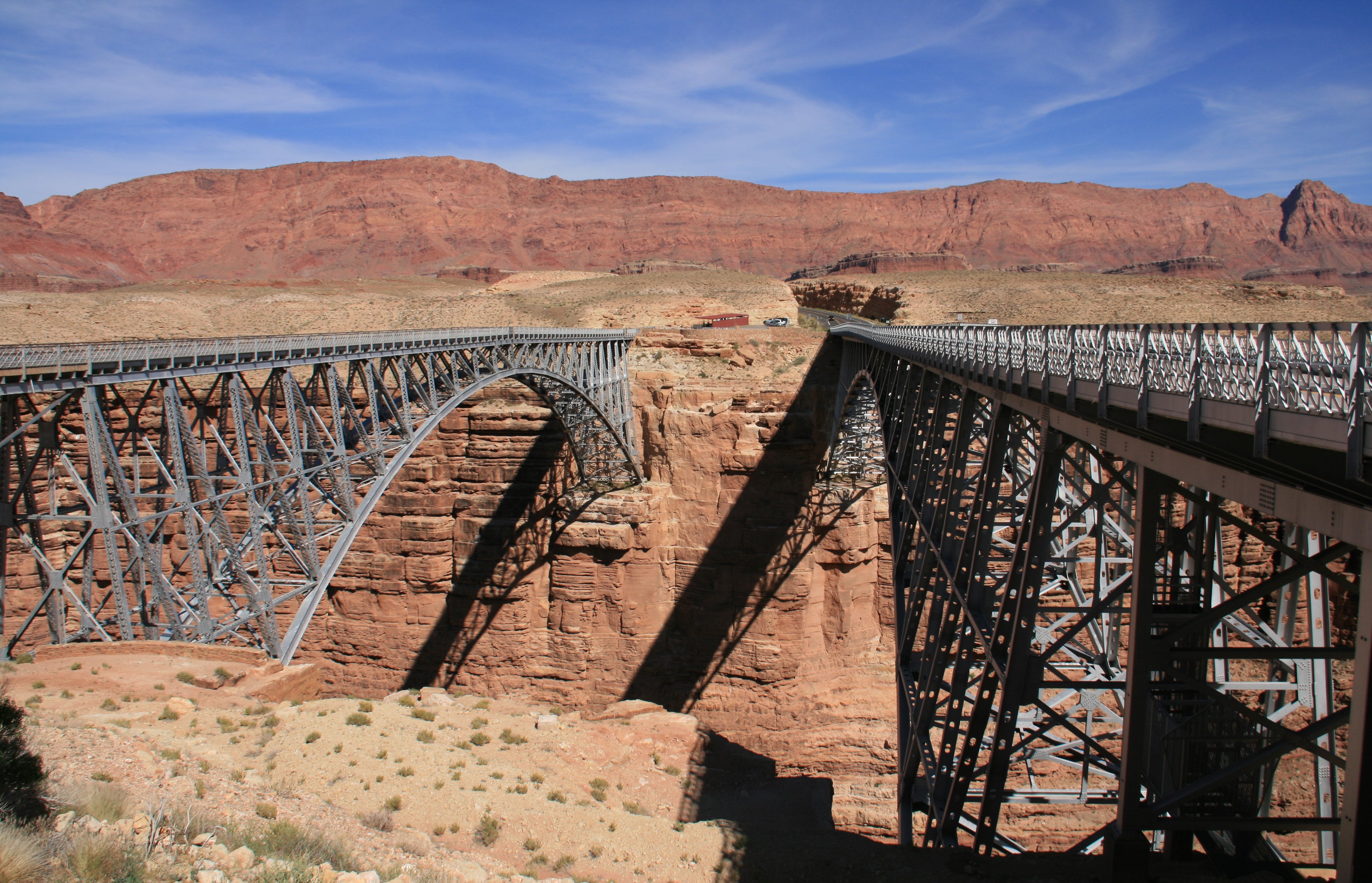
Back on December 26, 2006 I flew over the Navajo Bridge.
Below is a picture of the bridge from the air.
Well, brevity is a word seldom used to describe one of my videos. |
The two minute video below shows my accommodations for the next two nights. |
|
Hello again everybody, It was another beautiful day today. I started the day by driving to the North Rim of the Grand Canyon. I have been to the Grand Canyon a couple of times but this was my first visit to the North Rim. Not very many people visit the North Rim so it is far less crowded than the South Rim. I spent about four hours in the park visiting the various view points. The first viewpoint of the day way Point Imperial. The picture below is Angel's Window. You walk out on that arch for views of the canyon. When I took the picture I didn't realize that's what it was until I got out there later on. Below is a closer look at Angel's Window. And below is what it looks like on top of Angel's Window. Below is the view from Cape Royal. Below is a picture of me at Cape Royal. I am standing on the edge of the canyon with about a 1000 foot drop all around me. I have never seen a picture of the Grand Canyon that does it justice. It's one of those places you have to actually be there to truly appreciate it. Below is Roosevelt Point. Below is Vista Encantada. Up until this point I pretty much had the park to myself. All the above viewpoints were on a side road 10-20 miles from the visitor center. The Pictures below are from Bright Angel Point just behind the visitor center, there were a lot more people here. Not only was the park beautiful but so was the drive there and back. You'd go through these dense forests and then it would open up to these huge beautiful meadows. You could even see snow on the ground in the shady spots. The picture below was taken while driving, I should have stopped and got a better picture. As I got farther away from the canyon it became more desert like. There was a nice view as we were descending from the higher elevation. I got a nice view of the Vermilion Cliffs from the highway. By the time I got to Lees Ferry it was pretty hot. Below is the Colorado River at Lees Ferry. The balanced rocks below were also at Lees Ferry. My last picture for today is of the Navajo Bridge over the Colorado River at Marble Canyon. On my scenic flight over the Grand Canyon & Monument Valley back on December 26, 2006, I remember flying over these twin bridges. From here it was about a 35 mile drive to Page, Arizona where I will be staying for two nights. Yay, I don't have to pack and move tomorrow. Plan to go rafting down the Colorado River tomorrow. More later, Tim |

Click on the arrow above to see tomorrow's adventures!
| TIM'S HOME PAGE SITE INDEX | |||
|---|---|---|---|
| Areas | Description | # of Pages | |
| About Me | Current Picture of me and my home. Information about myself. | 2 | |
| Biography | Pictorial biography of myself. Pictures range from birth to adulthood. | 4 | |
| Family File | Pictures of my family and a little information about them. | 12 | |
| Local Spotlight | Pictures, Links, and Information for Indianapolis, Richmond, Plainfield, and Mooresville, Indiana. | 6 | |
| Tim's Travels | Pictures, videos and travelogs from my travels around the world. | 409 | |
| Vacation Videos | Over 1500 videos from my travels around the world. | 1 | |