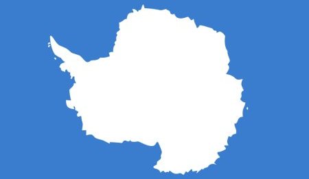
Antarctica has no official flag as it is not a nation nor is it ruled by a single government or body.
The Antarctic Treaty Organization has no flag, either.
However, several unofficial designs have been proposed.
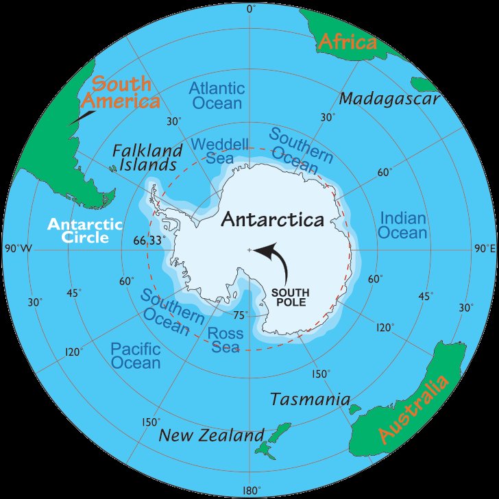
(Antarctica Map)
Antarctica is Earth's southernmost continent, overlying the South Pole.
It is situated in the Antarctica region of the southern hemisphere, almost entirely
south of the Antarctic Circle, and is surrounded by the Southern Ocean.
At 5.4 million square miles in area it is the fifth-largest continent.
On average, Antarctica is the coldest, driest and windiest continent,
and has the highest average elevation of all the continents.
Antarctica is considered a desert, with annual precipitation of only 8 inches along
the coast and far less inland. There are no permanent human residents, but anywhere
from 1000 to 5000 people reside at the various research stations scattered across
the continent throughout the year. Only cold-adapted plants and animals survive here,
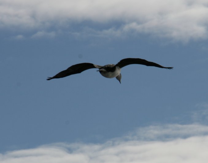
including penguins, seals, mosses, lichen, and many types of algae.
FRIDAY, FEBRUARY 20, 2009:

All of the images below are thumbnails and can be clicked on for a larger image.
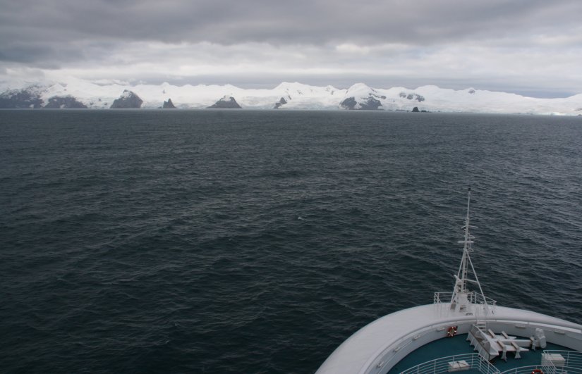
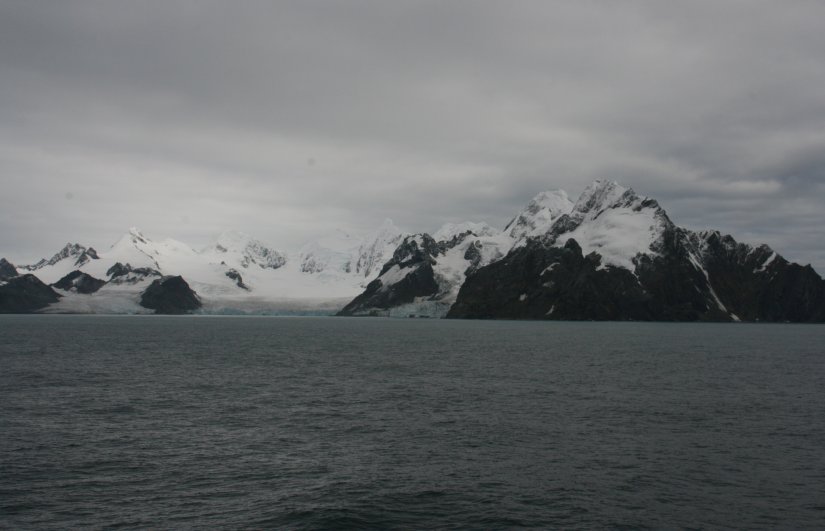
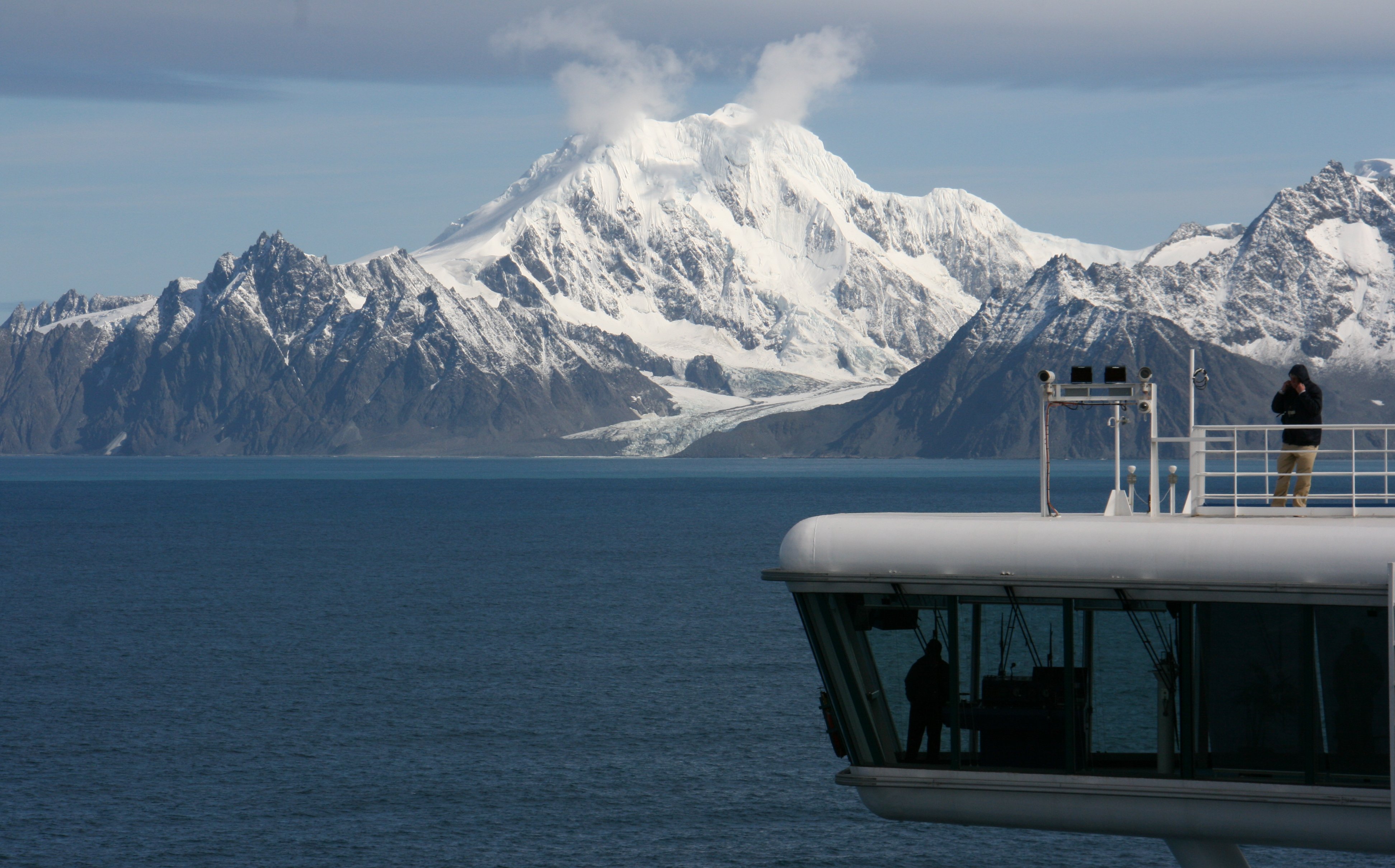
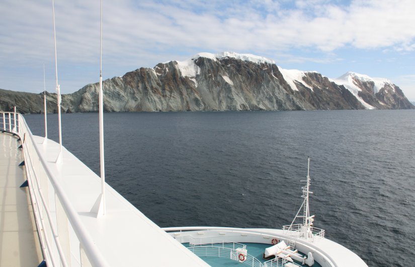
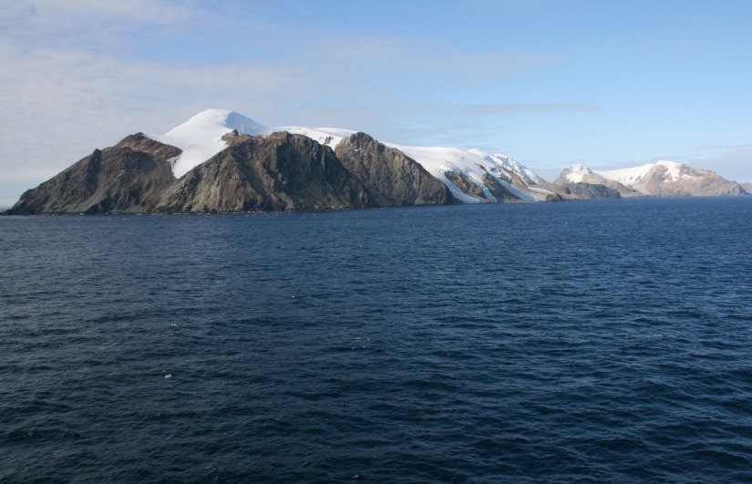
Friday morning we arrived at our first scenic stop in Antarctica.
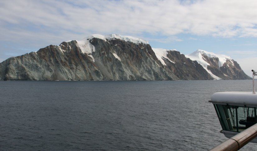
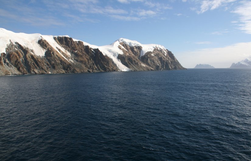
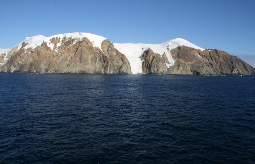
Elephant Island is an ice-covered, mountainous island off the coast of Antarctica in
the outer reaches of the South Shetland Islands in the Southern Ocean.
Its name was given by early explorers sighting elephant seals on its shores.
It lies 581 miles south of the Falkland Islands.
The island has a maximum elevation of 2795 feet above sea level at Pardo Ridge.
The island supports no significant flora or native fauna although migratory Gentoo penguins
and seals may be found on its shores, and Chinstrap penguins nest there in season.
9 minute video of Elephant Island on the tip of the Antarctic Peninsula. |
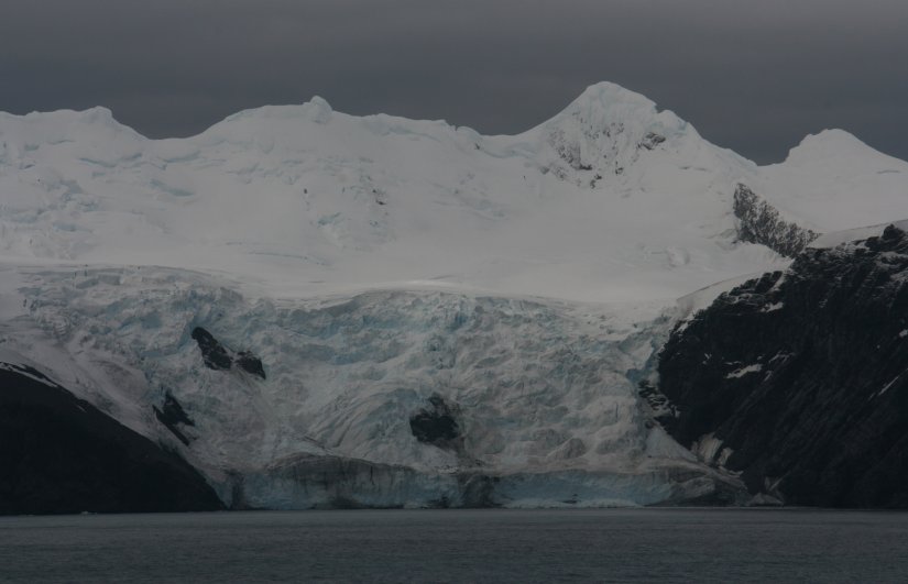
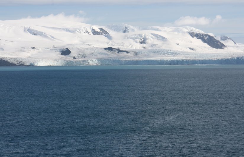
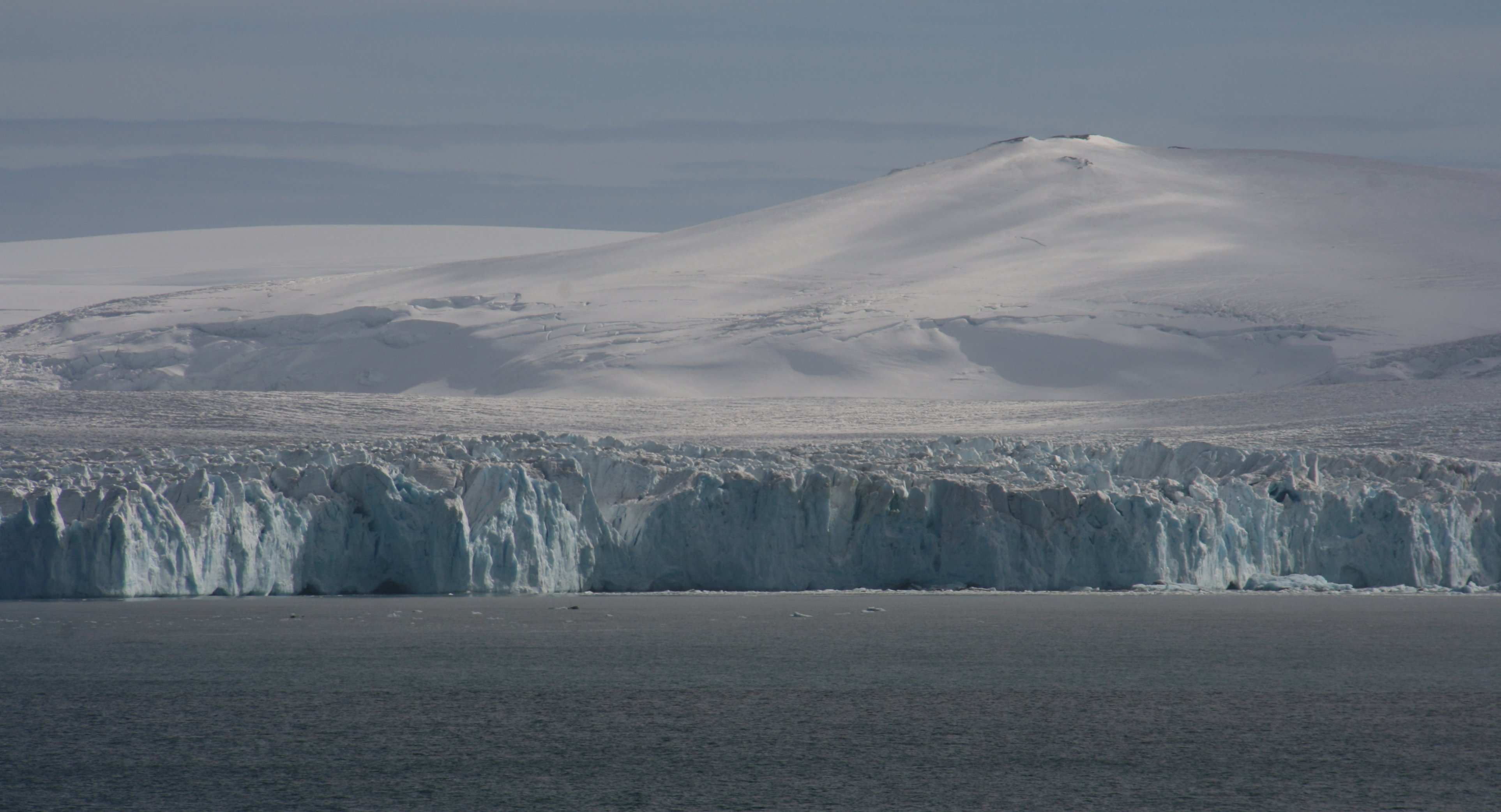
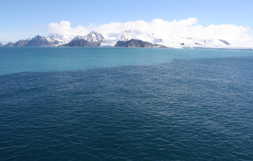
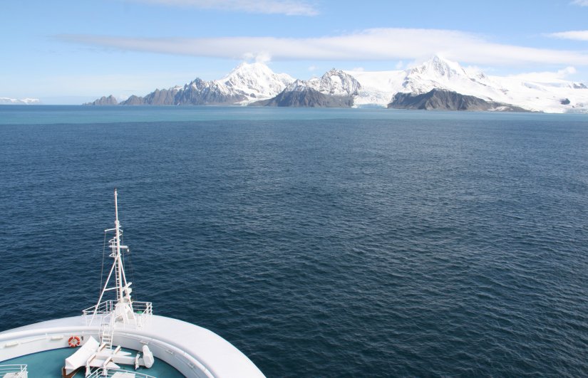
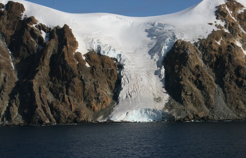
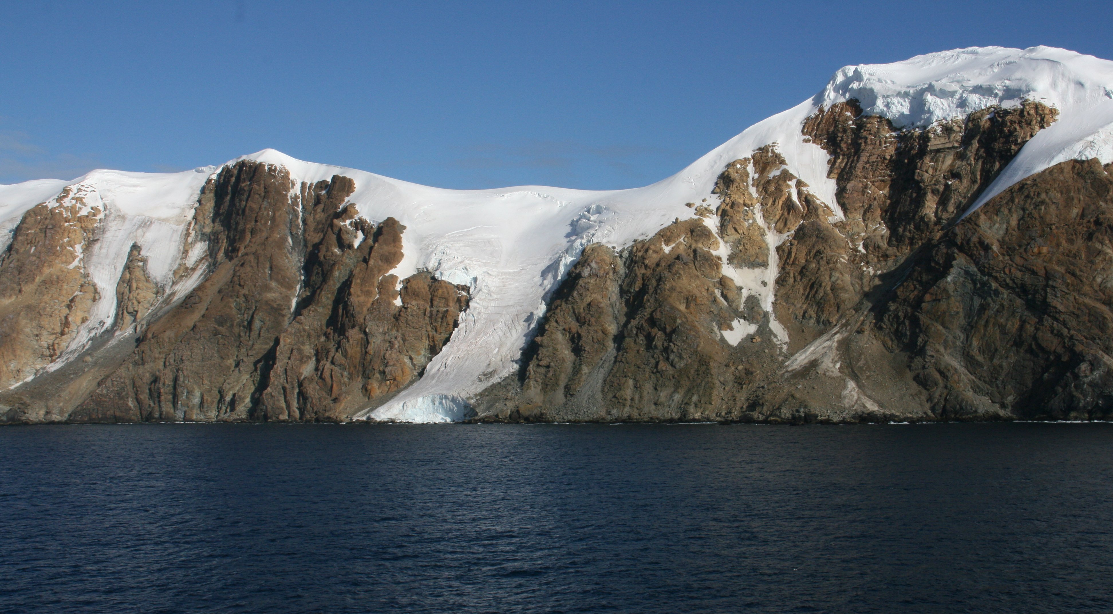
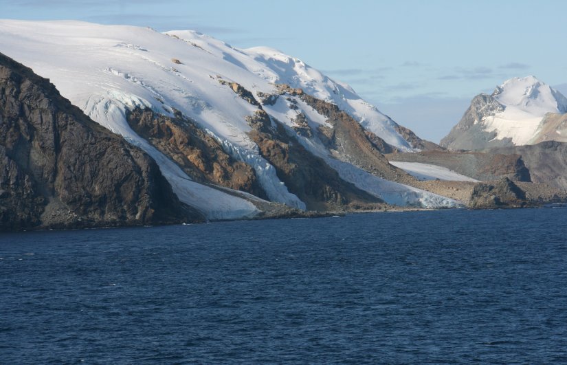
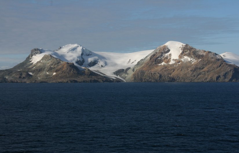
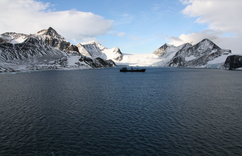
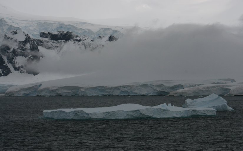
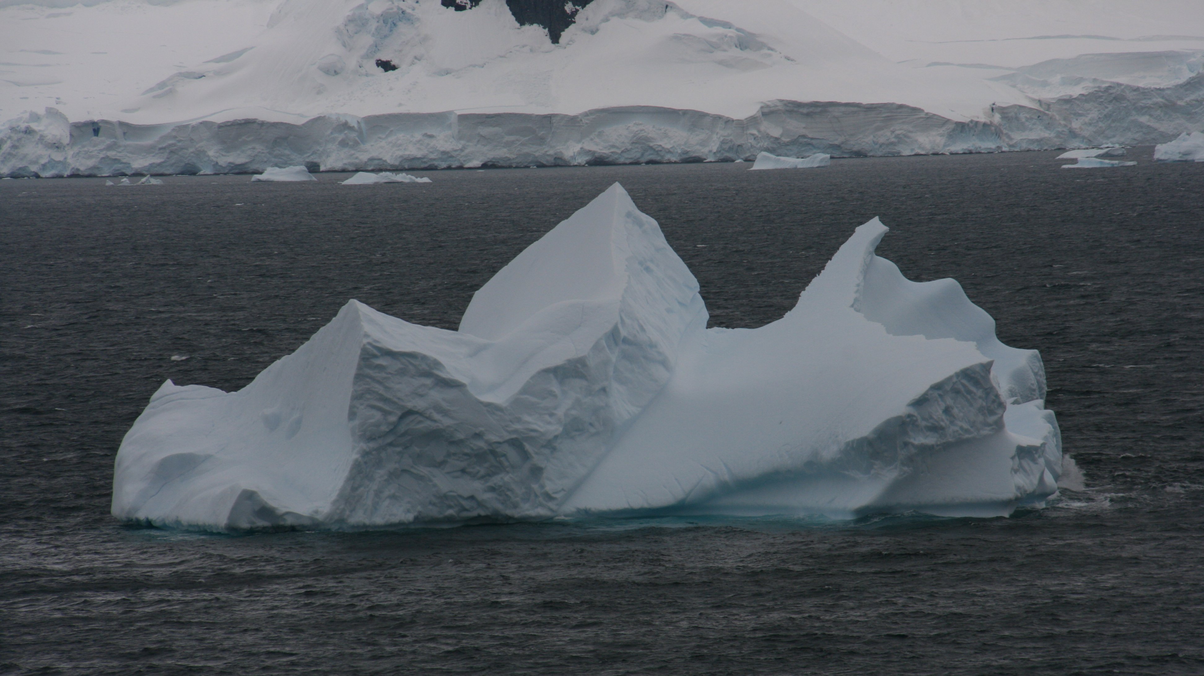
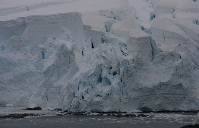
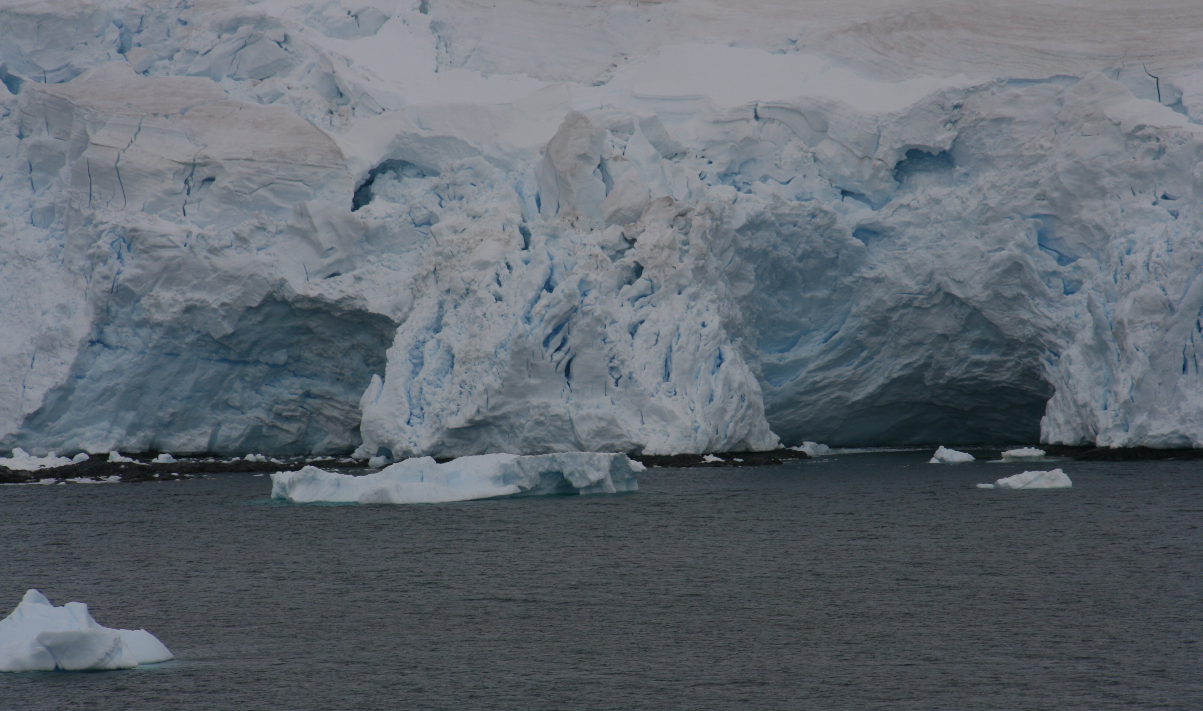
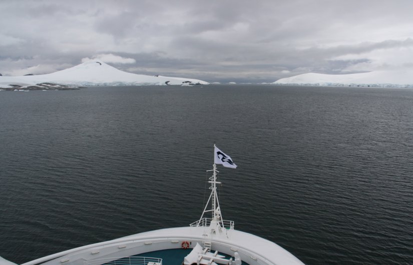
As we rounded Elephant Island and approached Endurance Glacier,
the skies cleared and there was beautiful sunshine.
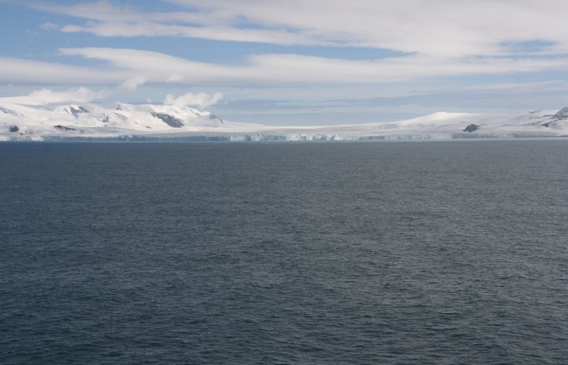
Endurance Glacier is a broad glacier north of Mount Elder,
draining southeast to the south coast of Elephant Island.
The island is most famous as the desolate refuge of Ernest Shackleton and his crew in 1916.
Following the loss of their ship Endurance in Weddell Sea ice,
the 28 exhausted men reached Elephant Island after a harrowing ordeal on drifting ice floes.
They established a camp at a place they called Point Wild where they were able to regain some strength.
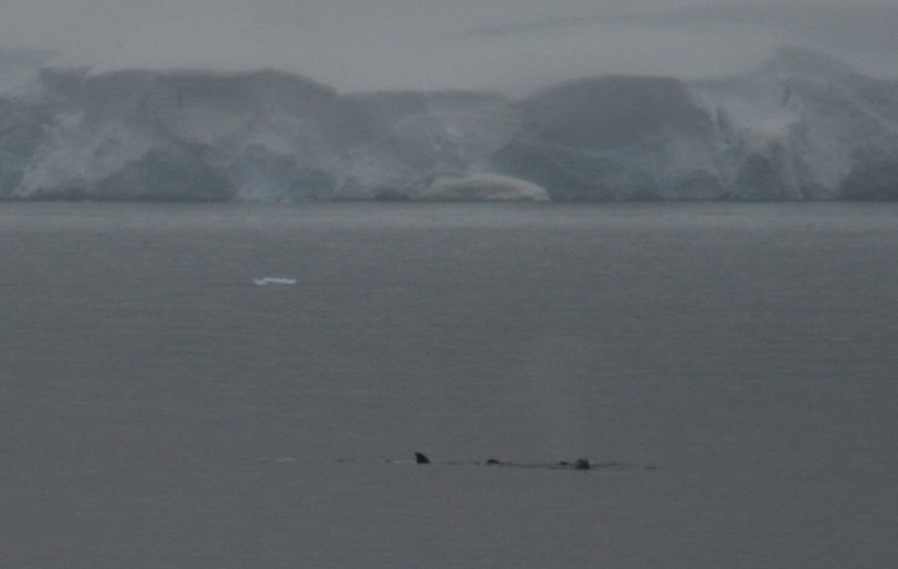
We sat in front of the glacier for over an hour hoping to see some whales and calving of the glacier.
We didn't see much of either but the spectacular sunshine made up for that.
6 minute video of Endurance Glacier on Elephant Island in Antarctica. |
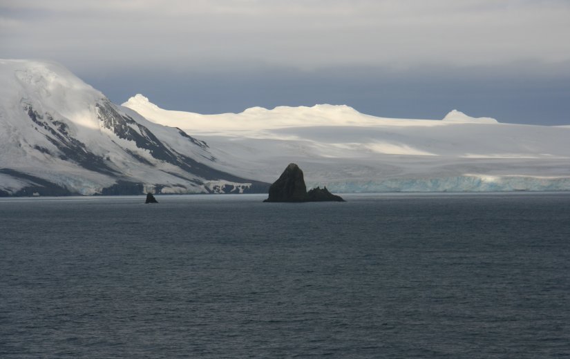
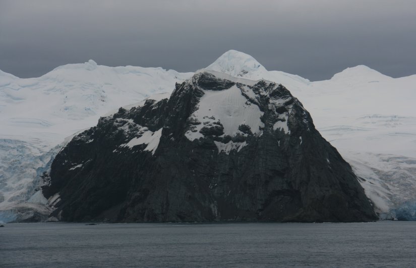
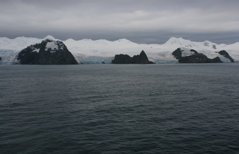
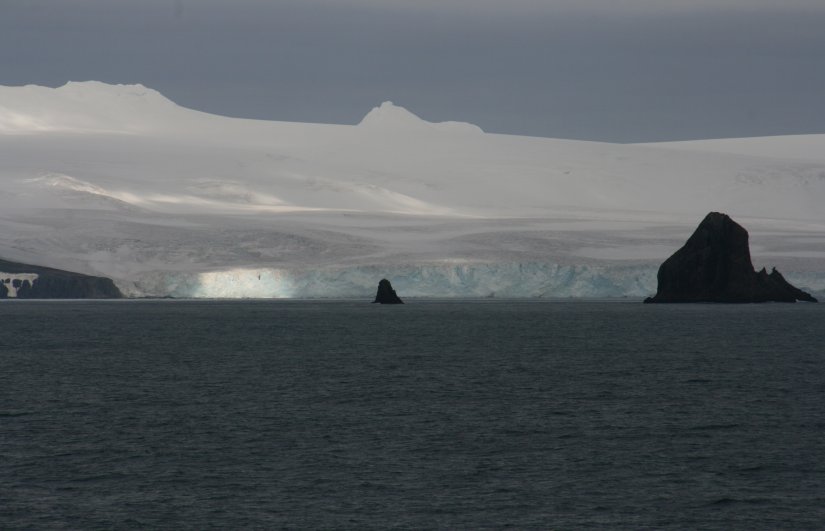
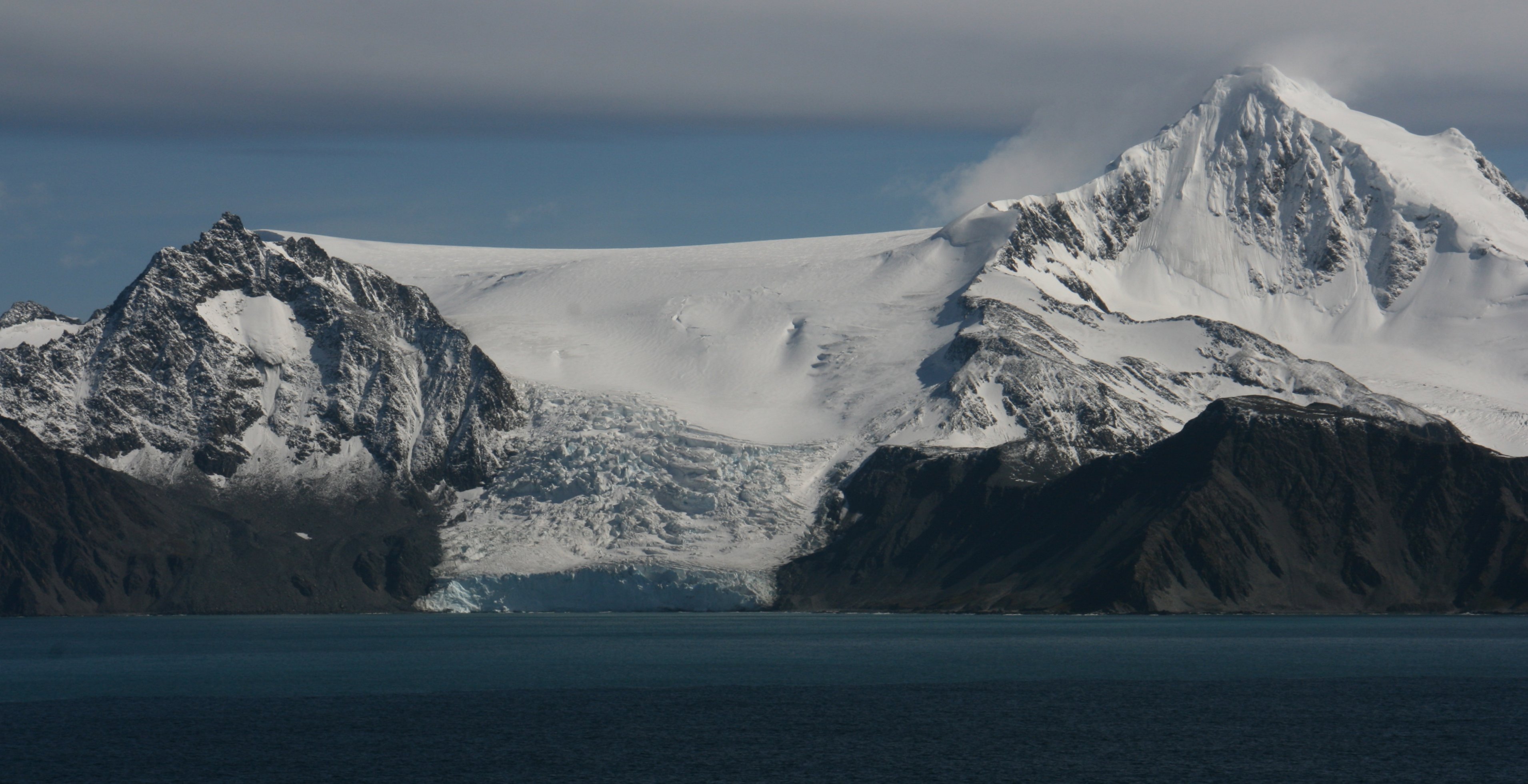
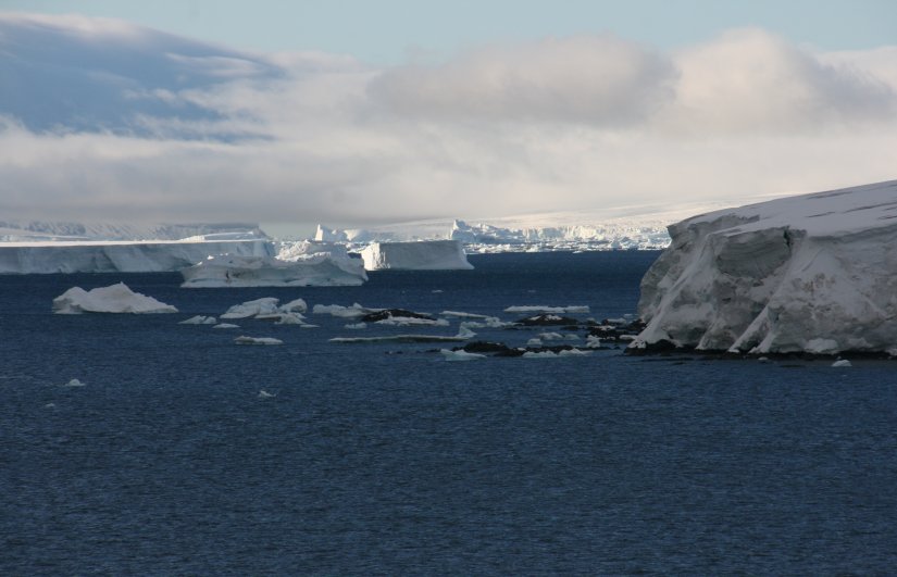
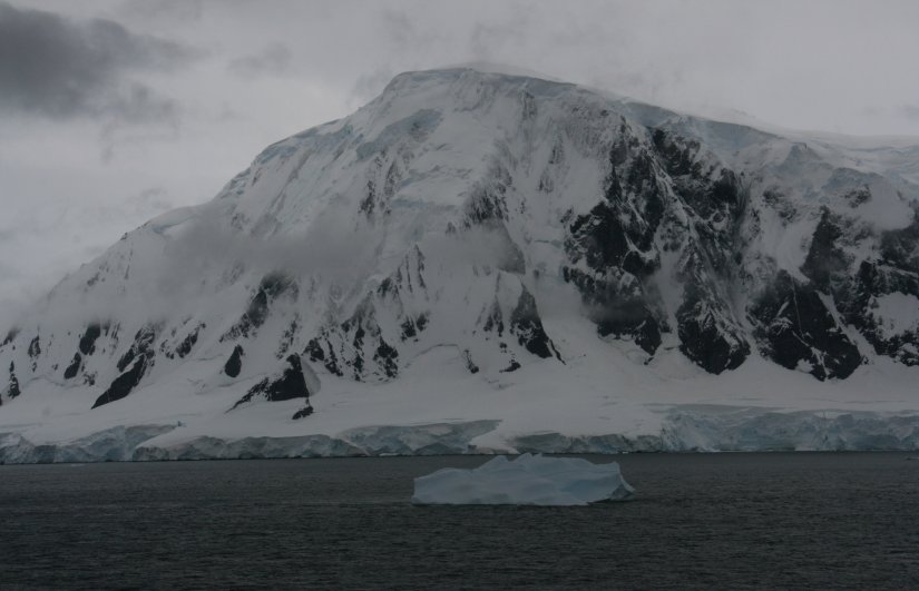
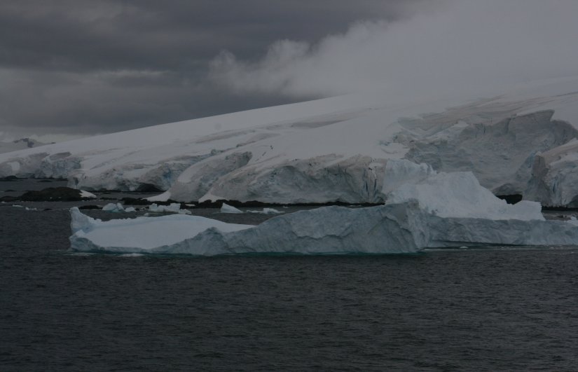
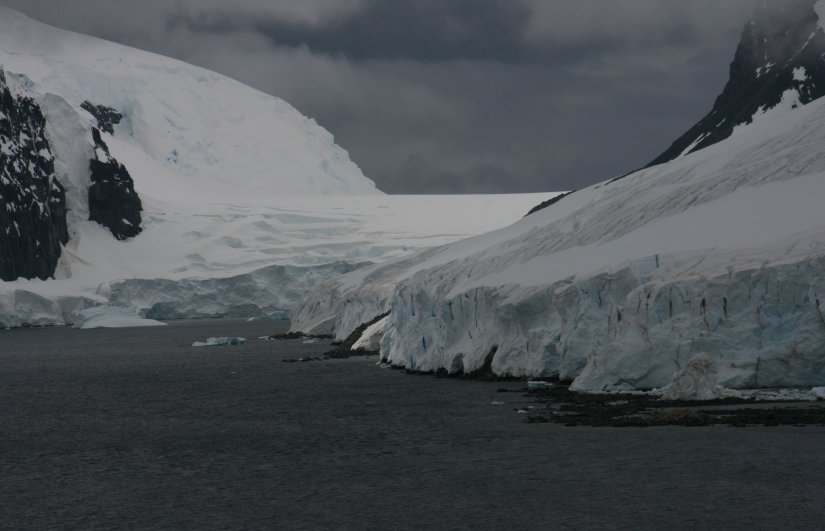
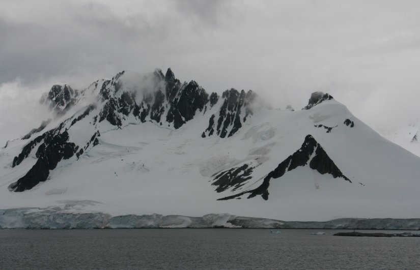
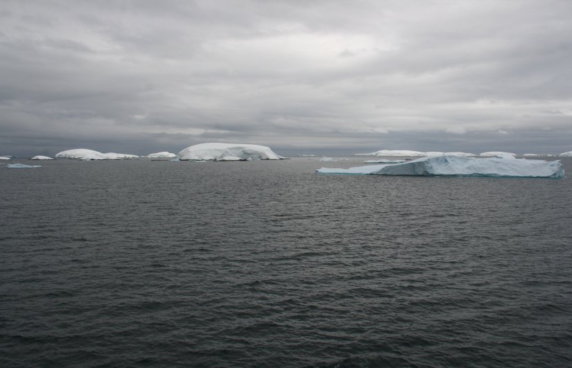
About 20 miles from Elephant Island is beautiful Gibbs Island.
The glaciers flowing down the mountains and joining the sea were really beautiful.
Gibbs Island is only about ten miles long, two miles wide at the widest, and 1500 feet high.
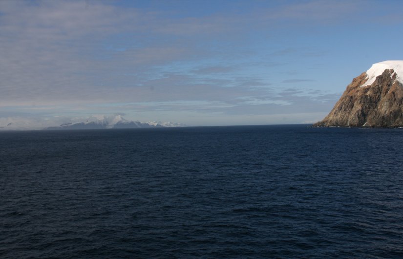
Late Friday afternoon we left the area and sailed southwest down
the Bransfield Strait toward our next Antarctic adventure.
6 minute video of Gibbs Island in Antarctica. |
|
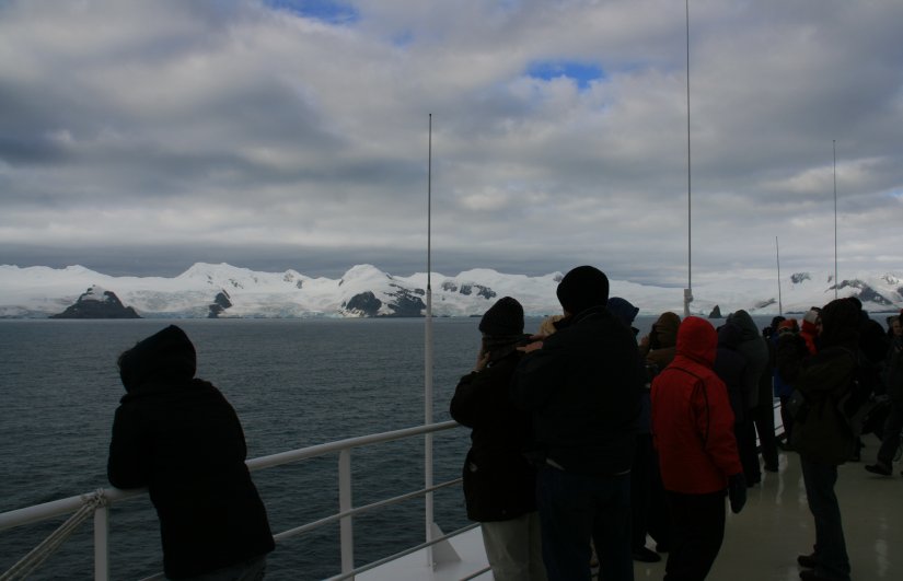
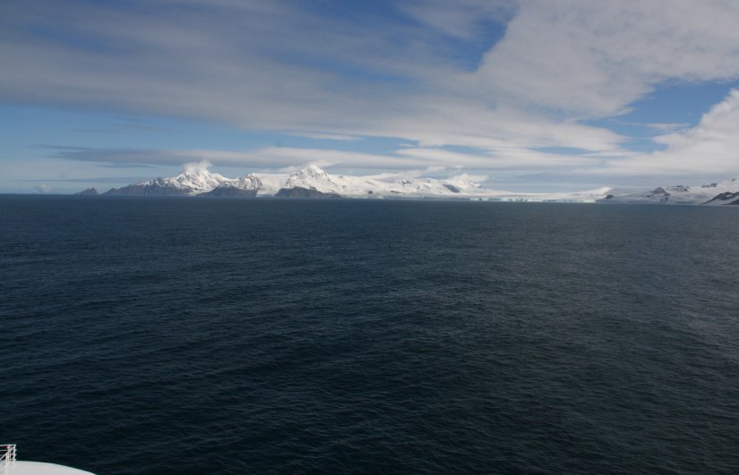
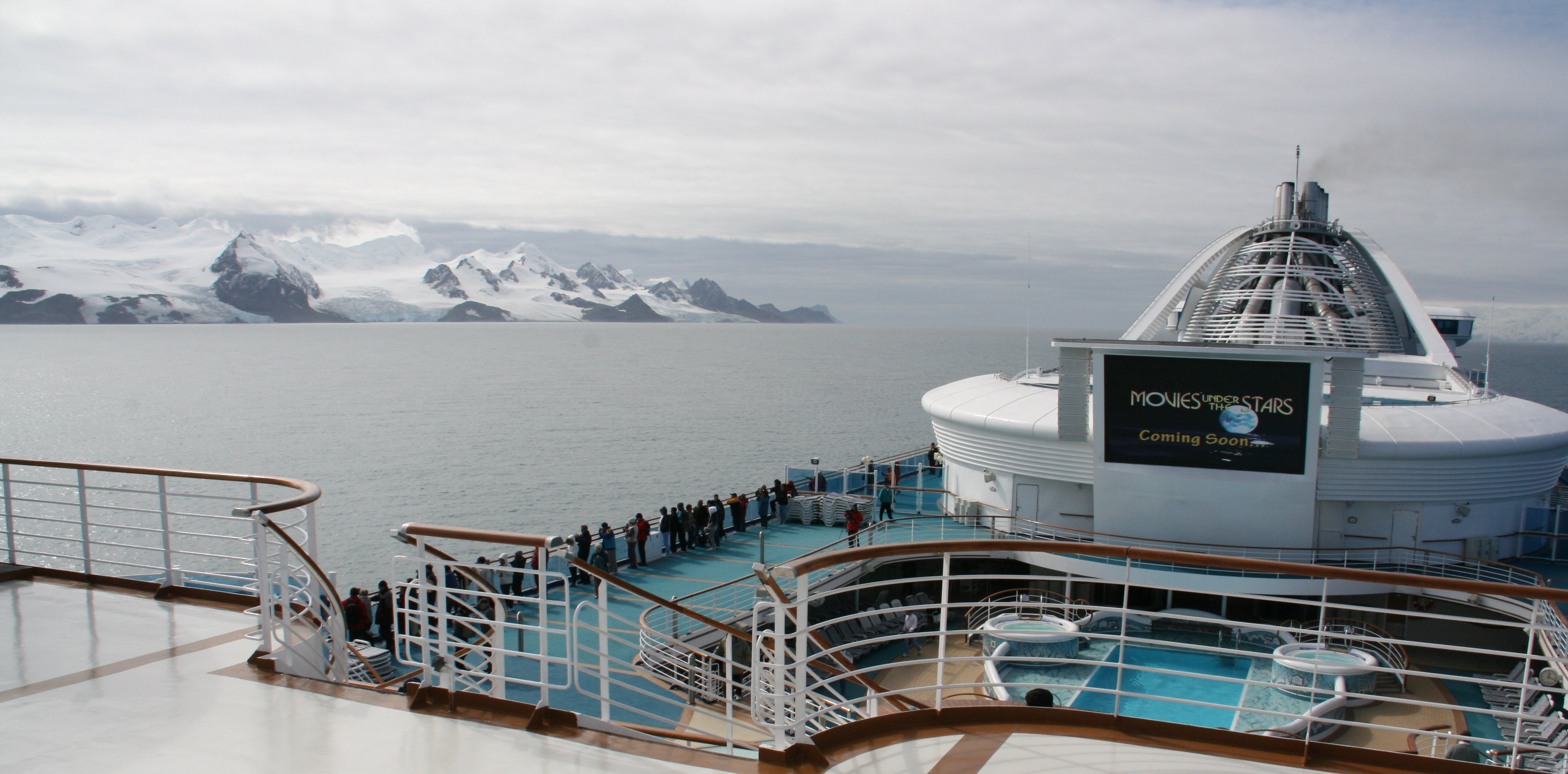
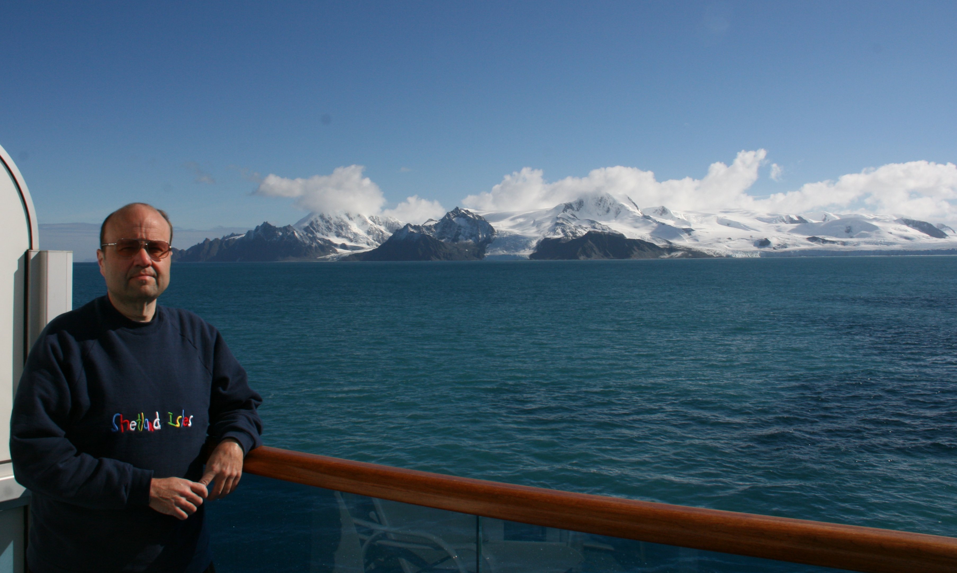
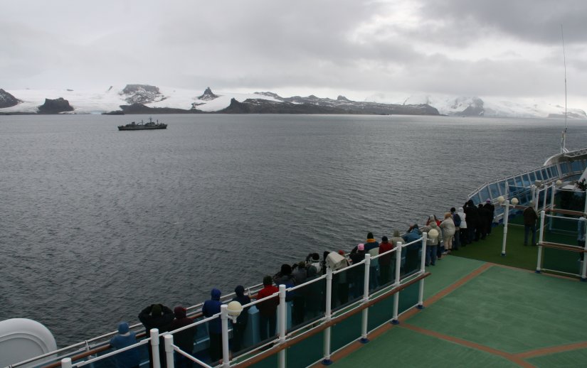
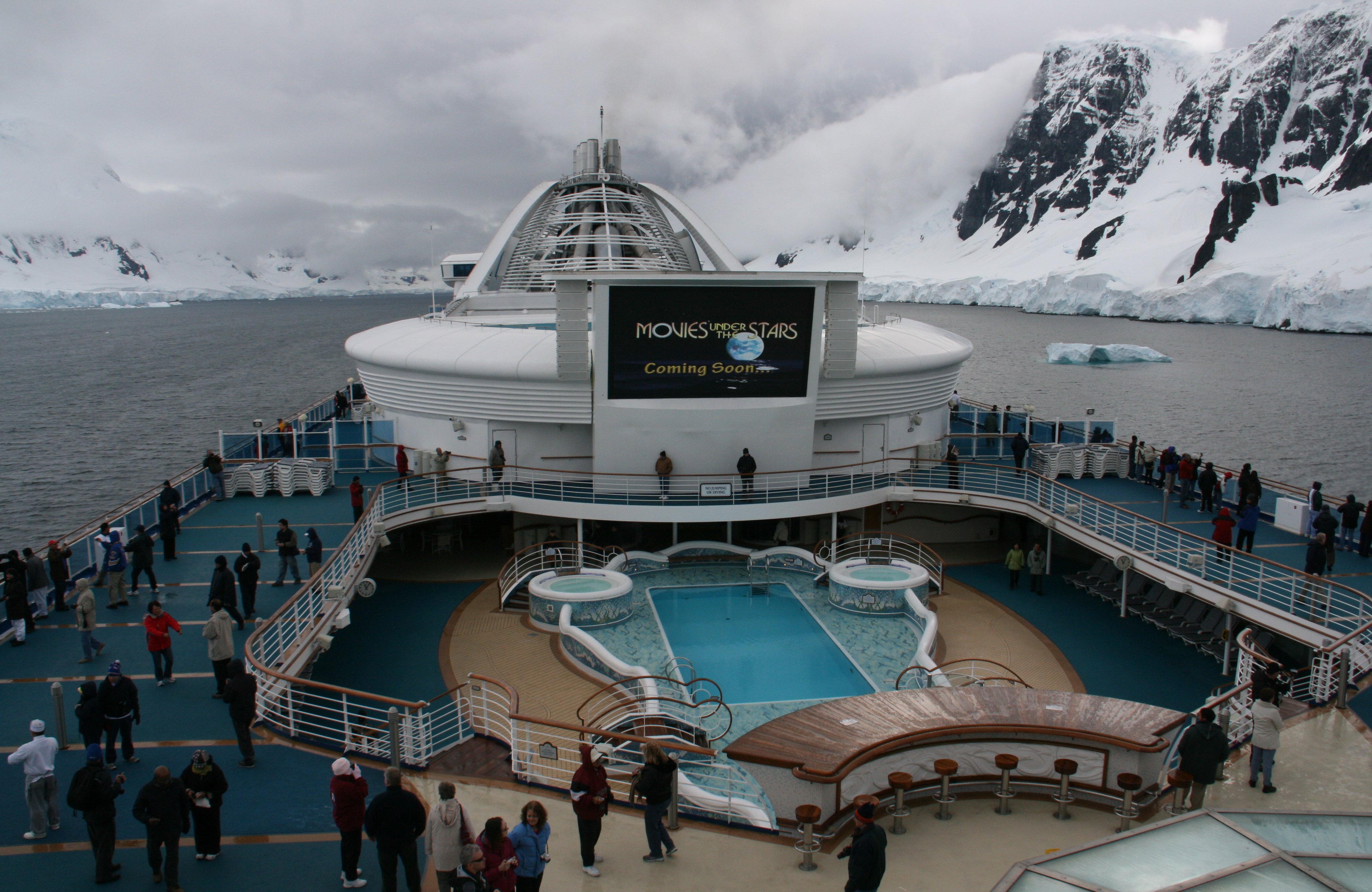
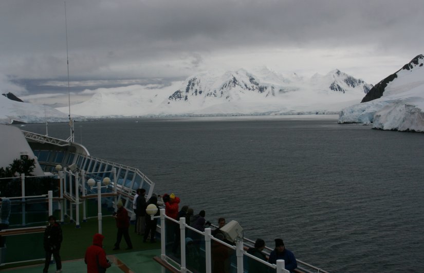
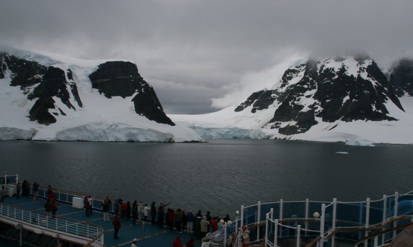
Greetings from Antarctica! Yesterday, Thursday, was a sea day as we made our way down to Antarctica. Weather continued to be good. Getting colder naturally, and it can get a bit breezy at times, but considering where we are the weather is great. Went through the Antarctic Confluence, where the seas can be quite treacherous, but we sailed right through without any problem. It is now Friday and we are officially in Antarctica as we are sailing around Elephant Island. It can get a little cold standing out on deck due the wind. The temperature is over 40 but that wind really bites. But the scenery is worth it. Below is a picture of my fellow passengers all bundled up while we sailed around Elephant Island. 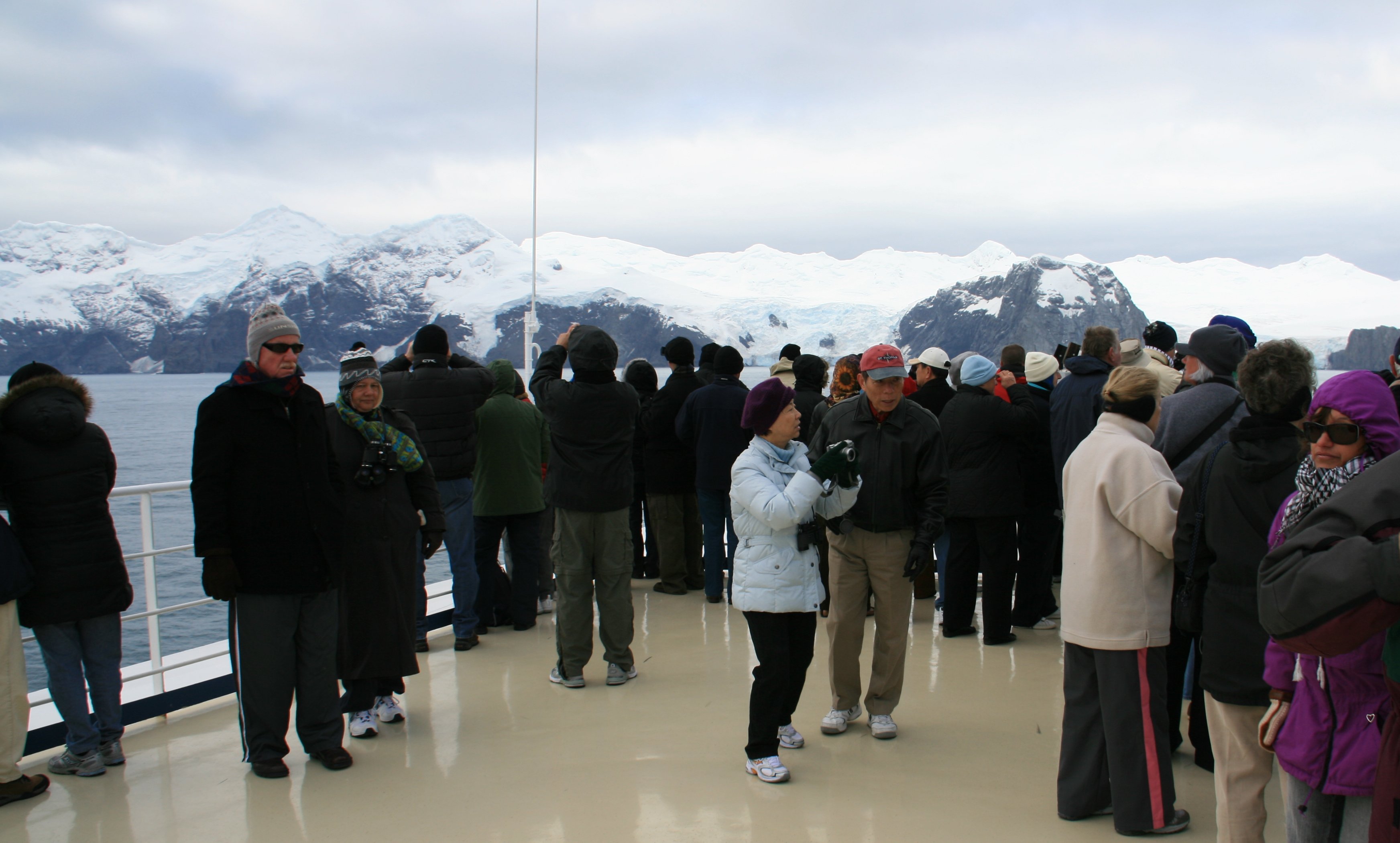 The mountains and glaciers on the island are really spectacular. We are over 600 miles from the nearest civilization. Antarctica is the third smallest continent. Australia and Europe are smaller. There are no permanent residents here. The only ones here are scientists stationed at the various research stations. And a few cruise ships that venture down here in summer, December to March. They are very strict about not taking anything out on the open decks while in Antarctic waters. Your coat and camera, everything else must stay inside. This is the only pristine place left on earth. 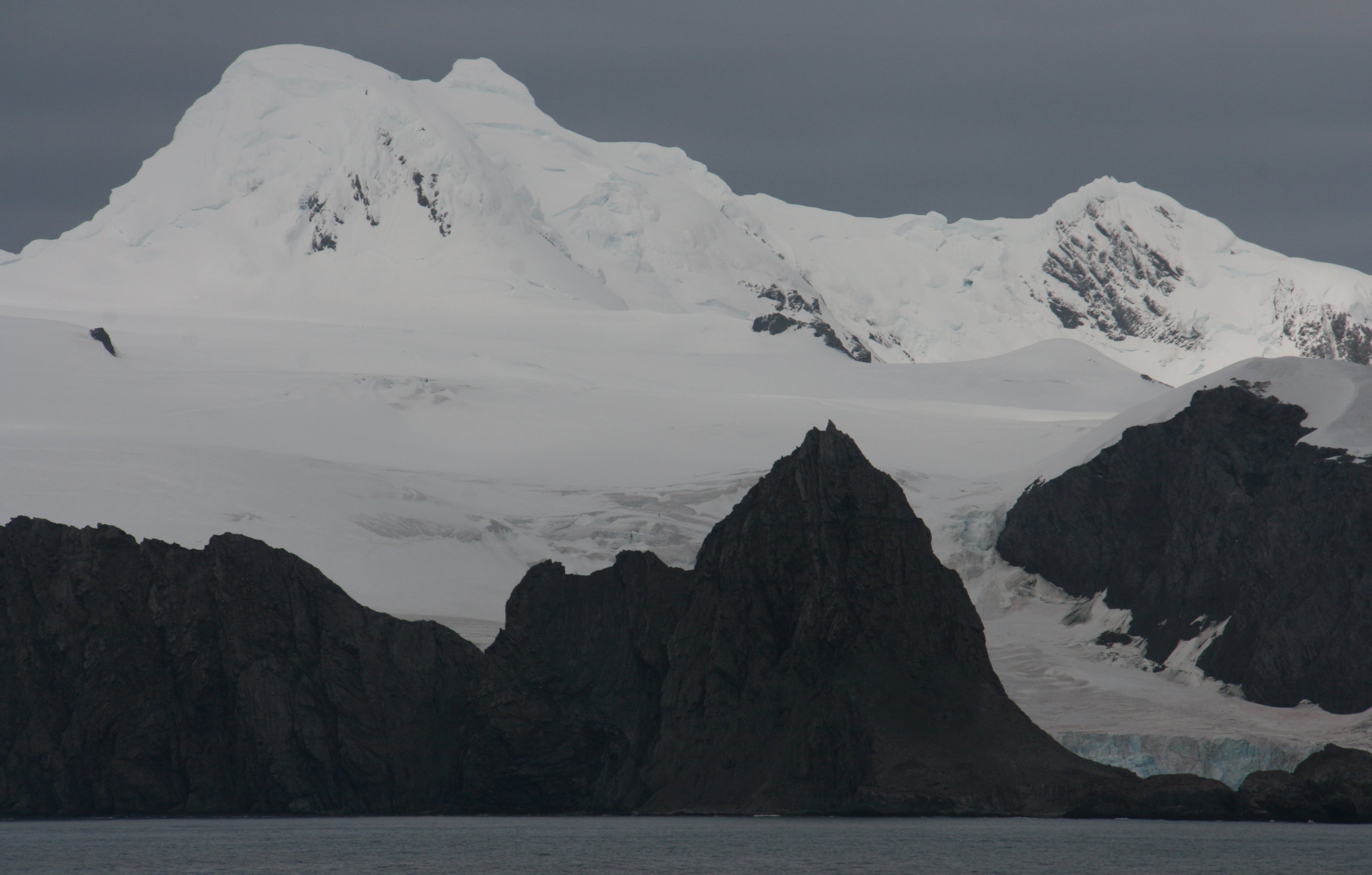 This is not the same part of Antarctica that I flew over back on New Years Eve 2006. And even though I have been here twice now, I don't actually ever get to step foot on the continent, as we never get off the ship. Some of the smaller ships do take folks ashore on rafts and such. Which would be great but it can be a rough trip in these turbulent waters on a small boat and of course the accommodations aren't as nice. I was going to take a landing expedition to the continent from Punta Arenas, Chile. It's a three hour flight down, you land on one of the ice runways. Then spend about four hours exploring from one of the research bases and fly back. But they stopped offering that tour this year. They did it last year. That tour was one of the reasons I selected this cruise. I was very disappointed. I have talked to others that wanted to do that as well. We are still sailing around Elephant Island. We have been here since about 8:30am and it is just past 11:30 now. We are moving toward Endurance Glacier. Below is a picture of us approaching Endurance Glacier. Hoping to see some whales. Some saw some minke whales an hour ago, but I wasn't one of the lucky ones to see them. I saw people point and go oooo and awwww, but by the time I turned around they had gone under and did not come back up. Below is a picture of the ship as we approach Endurance Glacier. It is 2:30 in the afternoon now. We have been parked in front of Endurance Glacier for about two hours. This is a huge glacier, over four miles wide. The weather is unbelievable over here. Bright vivid sunshine, a few clouds over the mountain peaks but clear otherwise. I am writing this from my stateroom as I watch the beautiful scenery go by my window. When I am on my balcony with the wind blocked you don't even need a coat. Joe, the naturalist, said this was his ninth trip here, and this is the first time it wasn't raining and foggy. We are pulling away from the glacier now and heading down to Gibbs Island. That will be the last scenic view of the day. We will sail southwest overnight across Bransfield Strait and visit Esperanza Station and Admiralty Bay tomorrow. I did see a minke whale. Well, it was a black speck that was visible for about half of a second. They said it was a minke whale, I will have to take their word for it. And below is Gibbs Island when we passed it late this afteroon. Lots more of Antarctica to come. Visiting various points along the Antarctic Peninsula over the course of the next three days. Elephant Island that we sailed around today is the northern most point of the Antarctic Peninsula. More later, Tim |
SATURDAY, FEBRUARY 21, 2009:
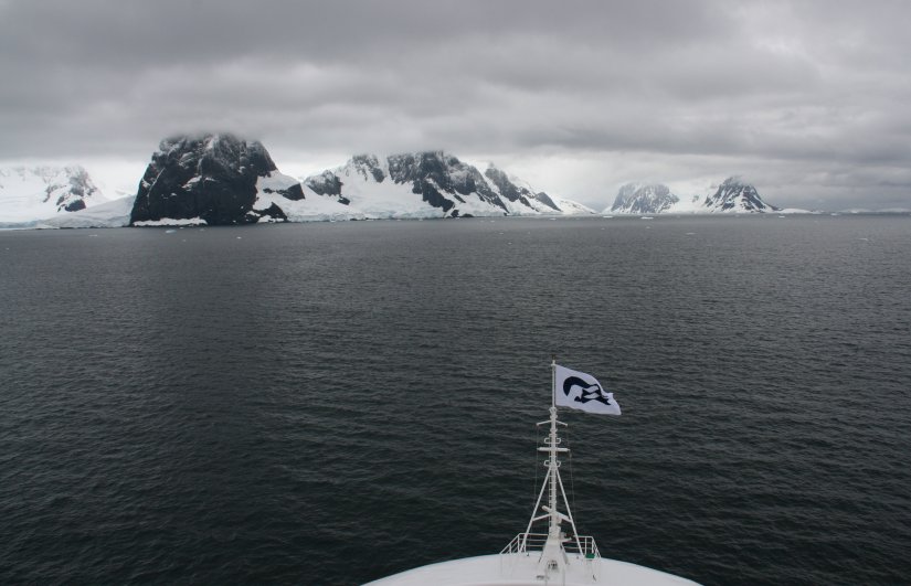
Saturday morning as we were approaching Hope Bay there was a thick fog and you couldn't see anything.
But when we got there at 7:30 A.M. the fog lifted and there was beautiful sunshine.
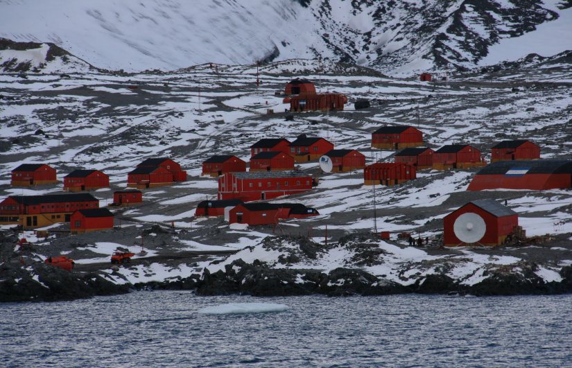
This is the tip of the actual continent of Antarctica. Up until now we had been visiting islands.
This is Hope Bay in the Antarctic Sound. The large research base is Esperanza Station.
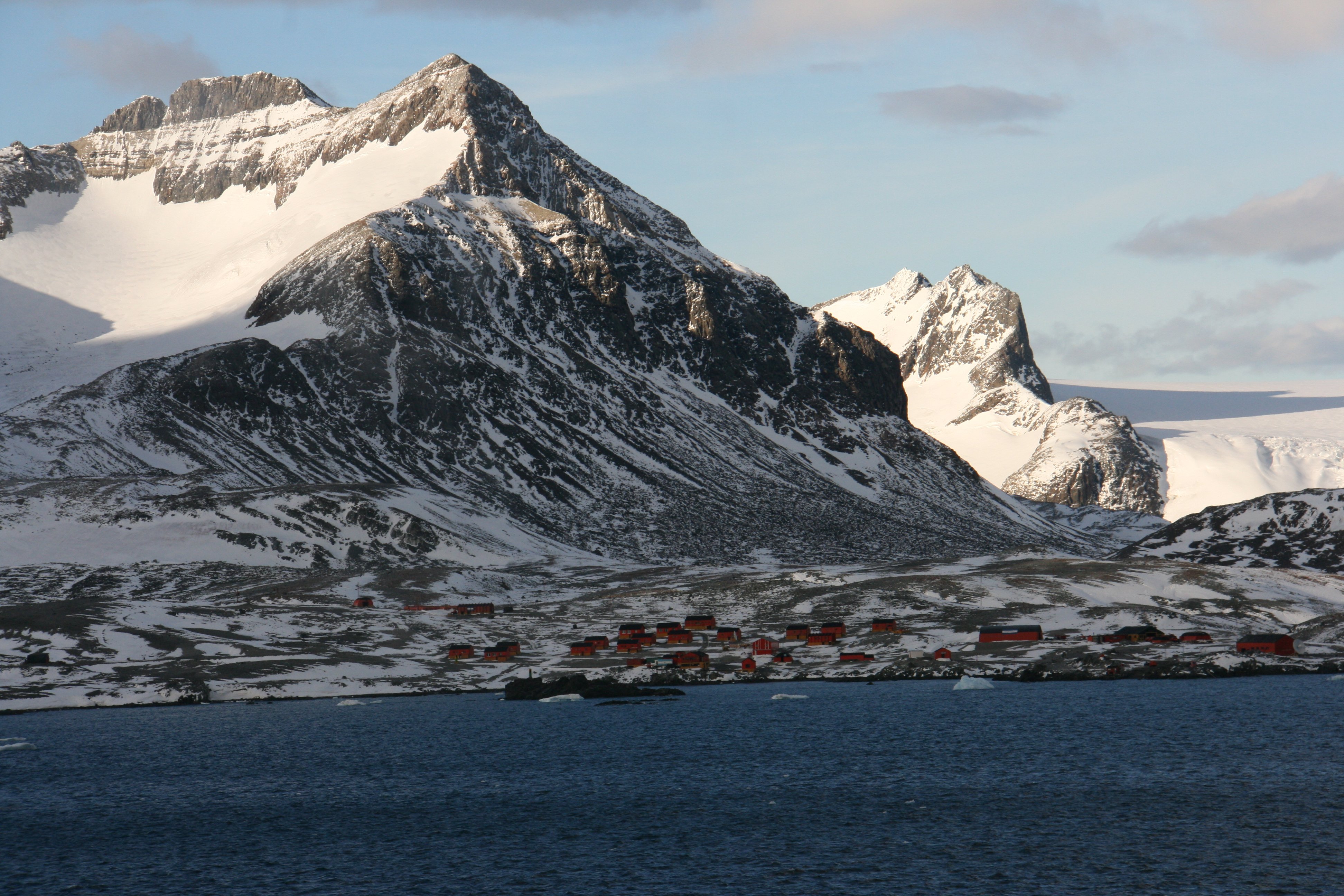

Built in 1975, the base houses 55 inhabitants in winter, including 10 families and 2 school teachers.
There are 43 buildings. 4800 gallons of fuel are used annually by the 4 generators to produce electricity.
Esperanza Base has some measure of fame because it is
the birthplace of the first person ever to be born in Antarctica.
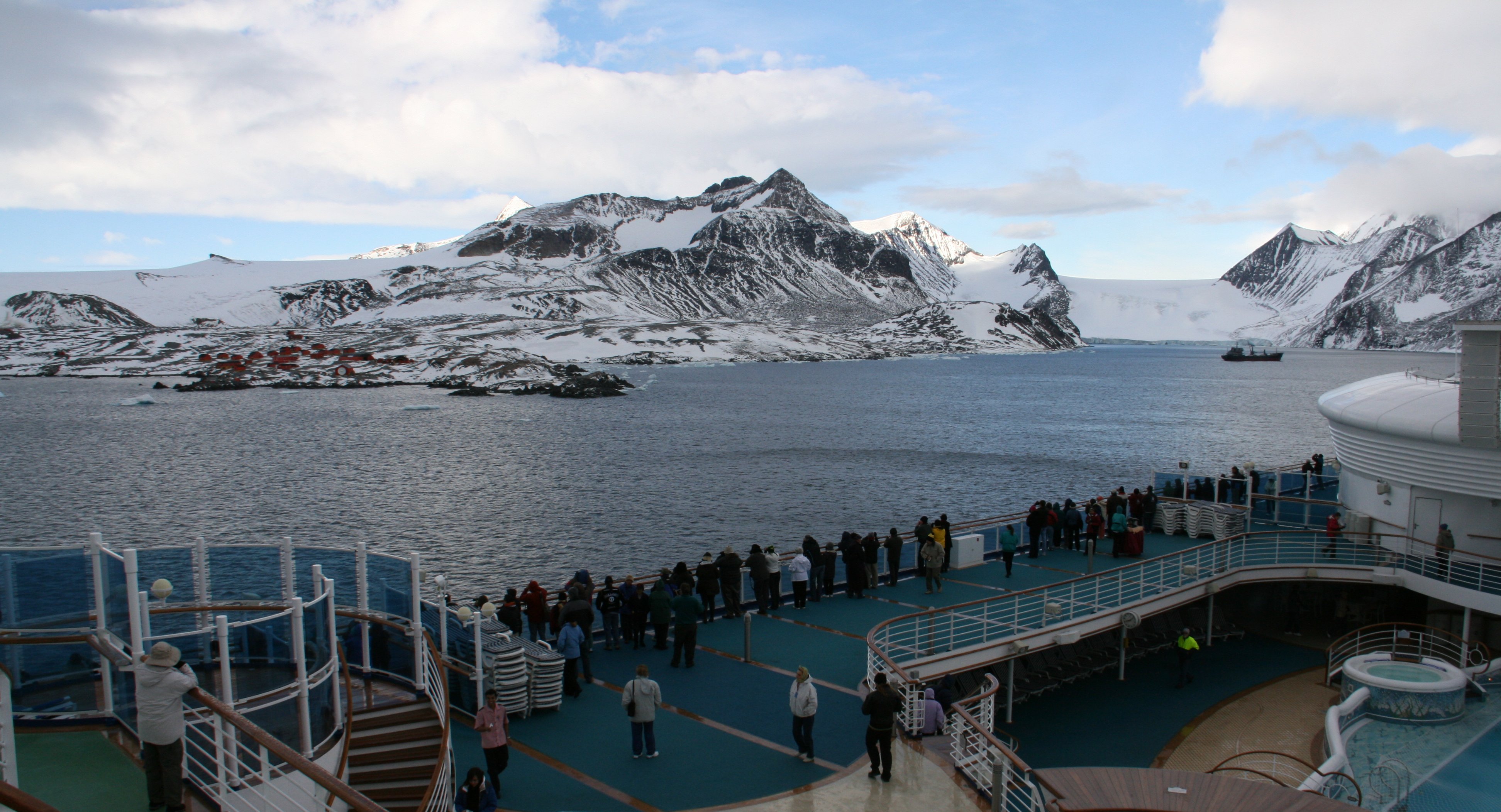
Hope Bay on Trinity Peninsula, is 3 miles long and 2 miles wide,
indenting the tip of the Antarctic Peninsula and opening on Antarctic Sound.
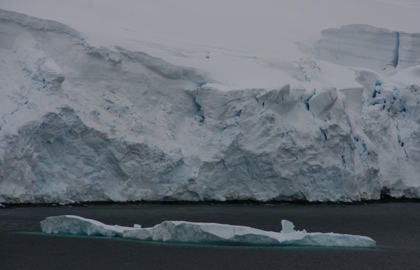
This area is also known as Iceberg Alley. The pictures below should explain that nickname.
As soon as we started to leave the fog rolled back in and you couldn't see your hand in front of you.
10 minute video of the Esperanza Research Station on Hope Bay in Antarctica. |
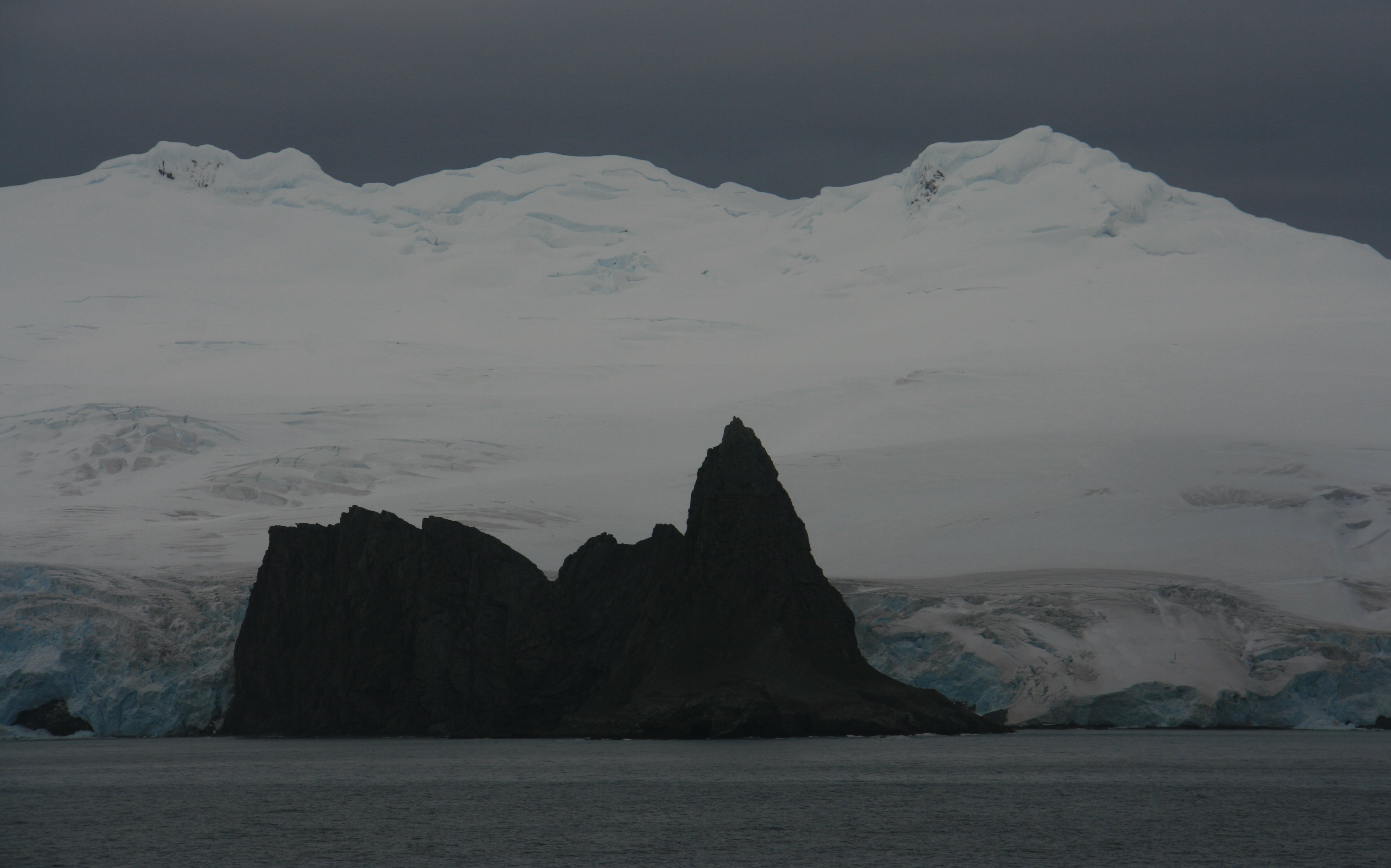
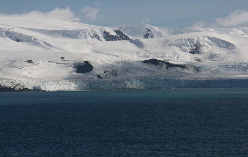
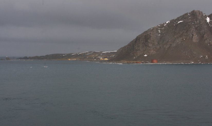
Saturday afternoon around 3:00 P.M. we visited Admiralty Bay.
The Passing ship in the left photo is the General Artigas and the body of water is the Bransfield Strait.
The middle photo is Arctowski Station, a Polish base, one of many on King George Island.
And on the right is Admiralty Bay looking back on King George Island and Arctowski Station.
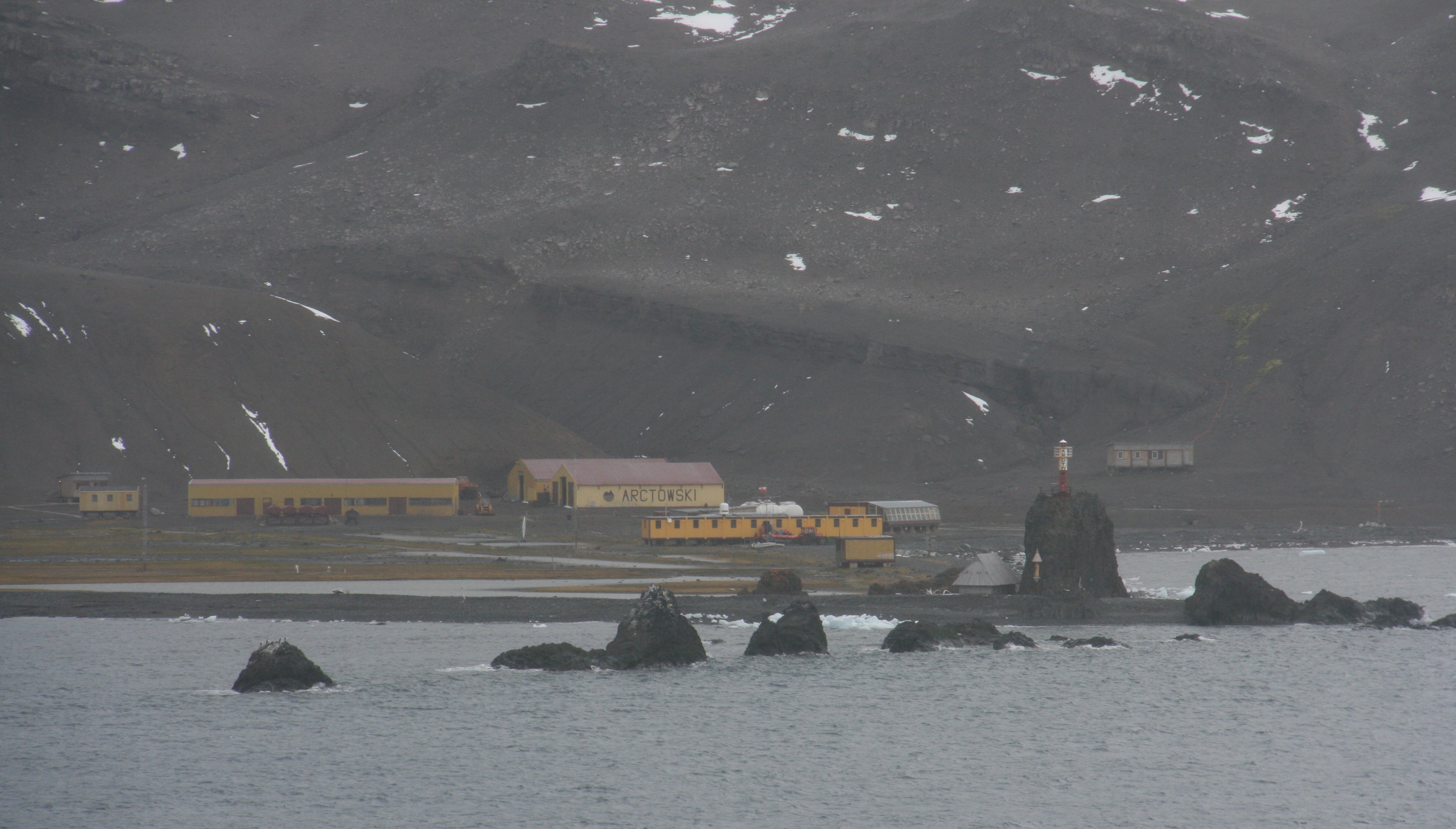
Seven scientists from the station sailed out on their rubber zodiac and boarded our ship.
As we were leaving a beautiful rainbow crossed the Bransfield Strait.


10 minute video of Admiralty Bay and the Arctowski Research Station in Antarctica. |
|
Hello again all, It was a great day in Antarctica yesterday, incredible sites and amazing weather. We sailed away from Elephant and Gibbs Islands late yesterday afternoon. Had good weather as we sailed further south. We started seeing a lot of icebergs floating by the ship and there was a beautiful sunset to end the day. Woke up this Saturday morning at 6:00am and it was foggy with light rain. At 7:00 we approached Esperanza Station in the Antarctic Sound. The sky opened up almost right on cue and there was beautiful sunshine and a clear blue sky. You could look out into the distance and see snow falling, but where we were it was crystal clear. There were beautiful mountains surrounding the station and huge icebergs everywhere. We spent about ninety minutes in Hope Bay viewing the station and its spectacular surroundings. The station is quite large, it is more like a little city. In fact, several years ago the first person to ever be born on Antarctica was born here. This station is unique as entire familes live here. They have a store and school. We got so close we could see people walking about. I saw a large satellite dish with DirecTV written on it. So I guess they have all the comforts of home. The station belongs to the country of Argentina. There was also a supply ship sailing in bringing supplies to the station. Below is Hope Bay and Esperanza Station. On the left of the picture you can see the many buildings of Esperanza Station. Towering above and behind the station is Mount Flora. Further to the right is a large glacier and in front of that you can see the supply ship bringing supplies to the station. And in the foreground is my ship, the Star Princess. At 8:30 as we began pulling away from the area a thick fog rolled in and now you can't see the hand in front of your face. I guess the skies cleared just for our visit. Yet again the naturalist who gives us information about what we are seeing said we had the best views he had ever seen of the area. I guess on the last cruise people got to see almost nothing. There was fog and rain almost 100% of the time. Below are some of the icebergs in Hope Bay as we were getting ready to leave. Saturday afternoon we passed Arctowski Station, a Polish base, one of many on King George Island. Seven Polish Scientists from Arctowski Station boarded our ship. We are going to take them back to Argentina. Below is a rainbow over Admiralty Bay looking back on King George Island and Arctowski Station. More later, Tim |
SUNDAY, FEBRUARY 22, 2009:
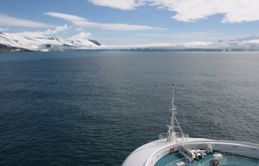
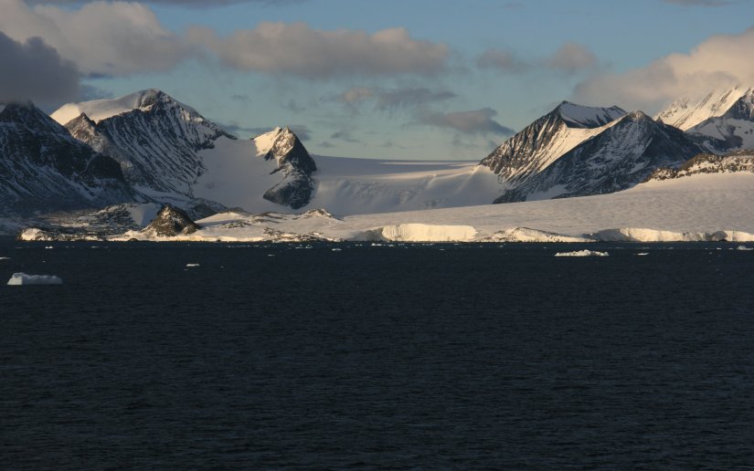
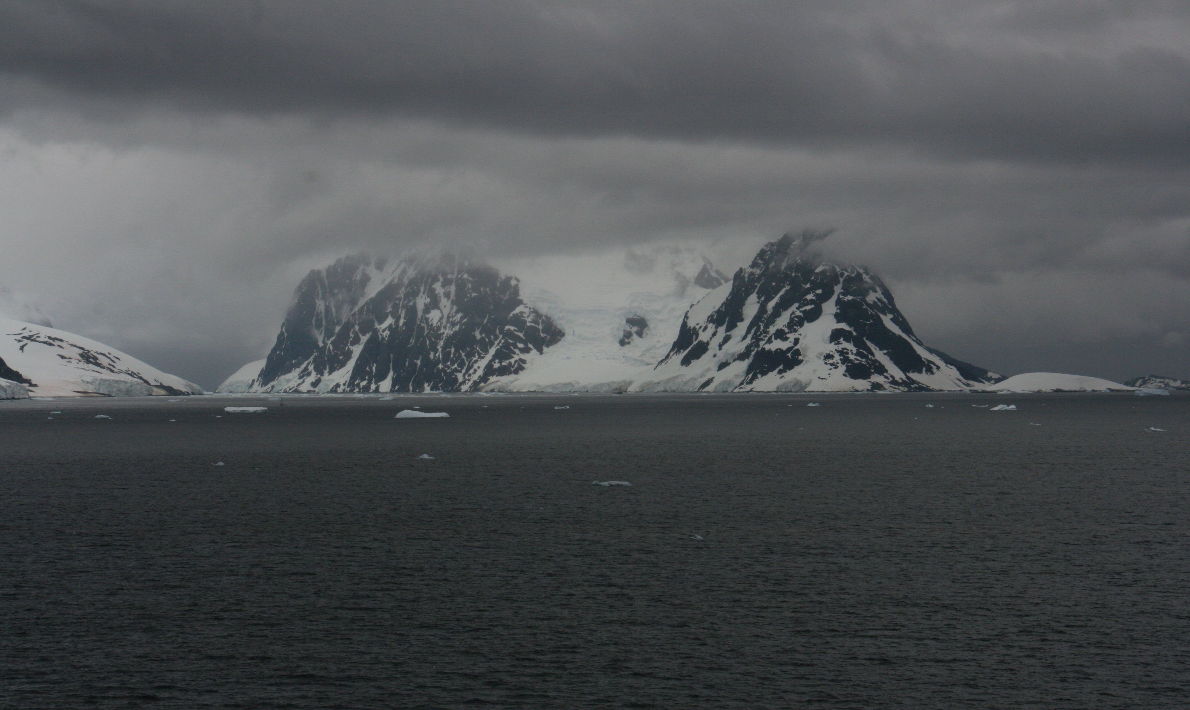
We spent most of Sunday in the Neumayer Channel and the Gerlache Strait.
The Gerlache Strait is a channel/strait separating the Palmer Archipelago from the Antarctic Peninsula.
Neumayer Channel is 16 miles long and 1.5 miles wide, separating Anvers Island from Wiencke Island.
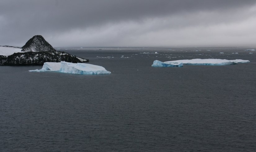
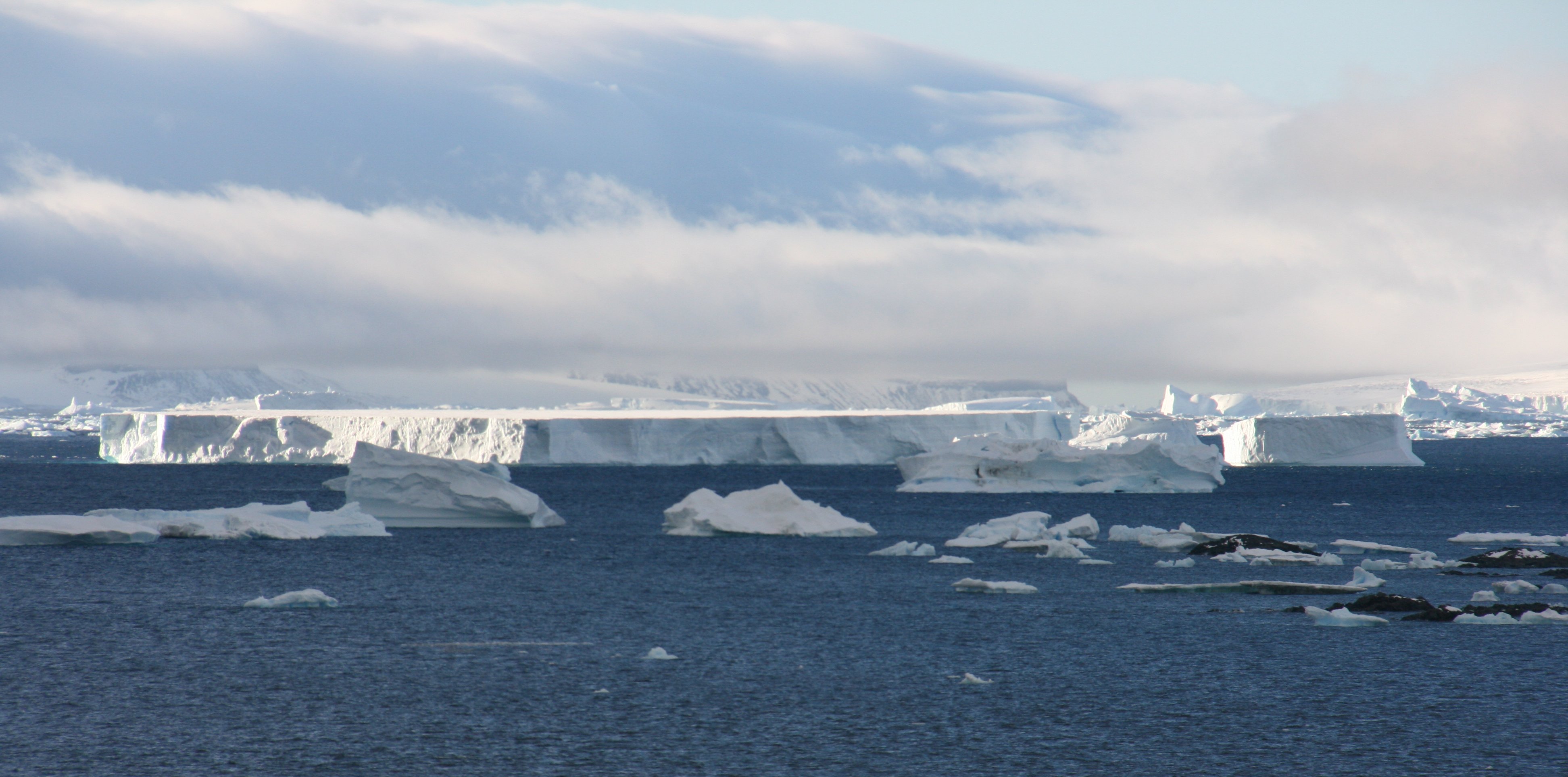
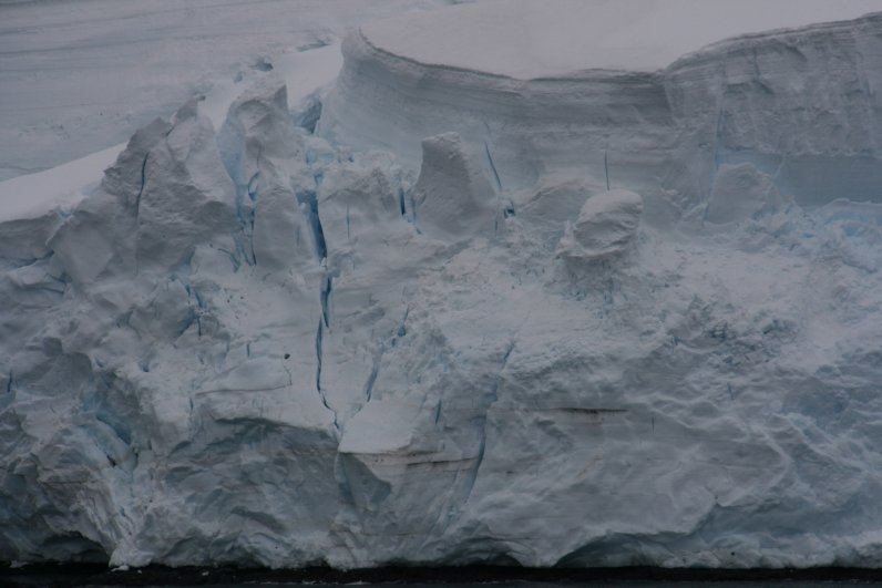
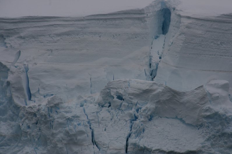
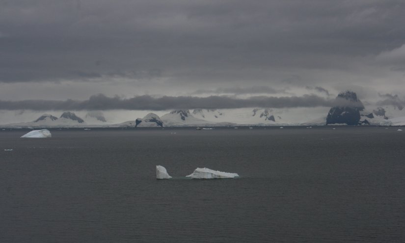
There were icebergs of all shapes and sizes.
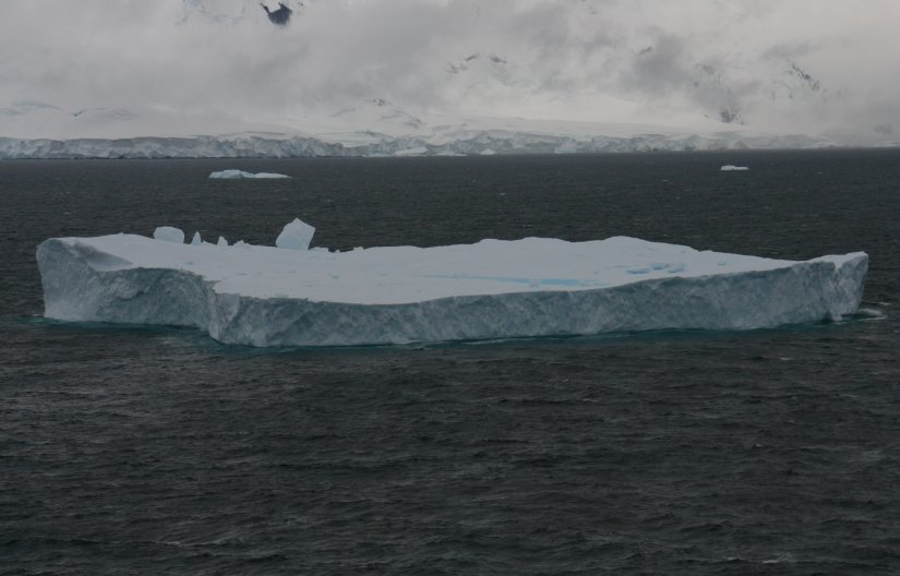
It wasn't a very clear day, but the landscape was no less impressive.
The overcast skies brought out the deep blues in the glacier ice.
I spent most of of the day outside on the open decks. I had on about six layers of clothes.
Neumayer Channel is known for its majestic cliffs. It is said to be like a maze with no visible exits
because of its inverted S-shape. Its entrance and exits both have sharp bends.
This would end up being our last day in Antarctica.
We were scheduled to spend tomorrow at Deception Island,
but an approaching severe storm in the Drake Passage forced our early departure from the area.
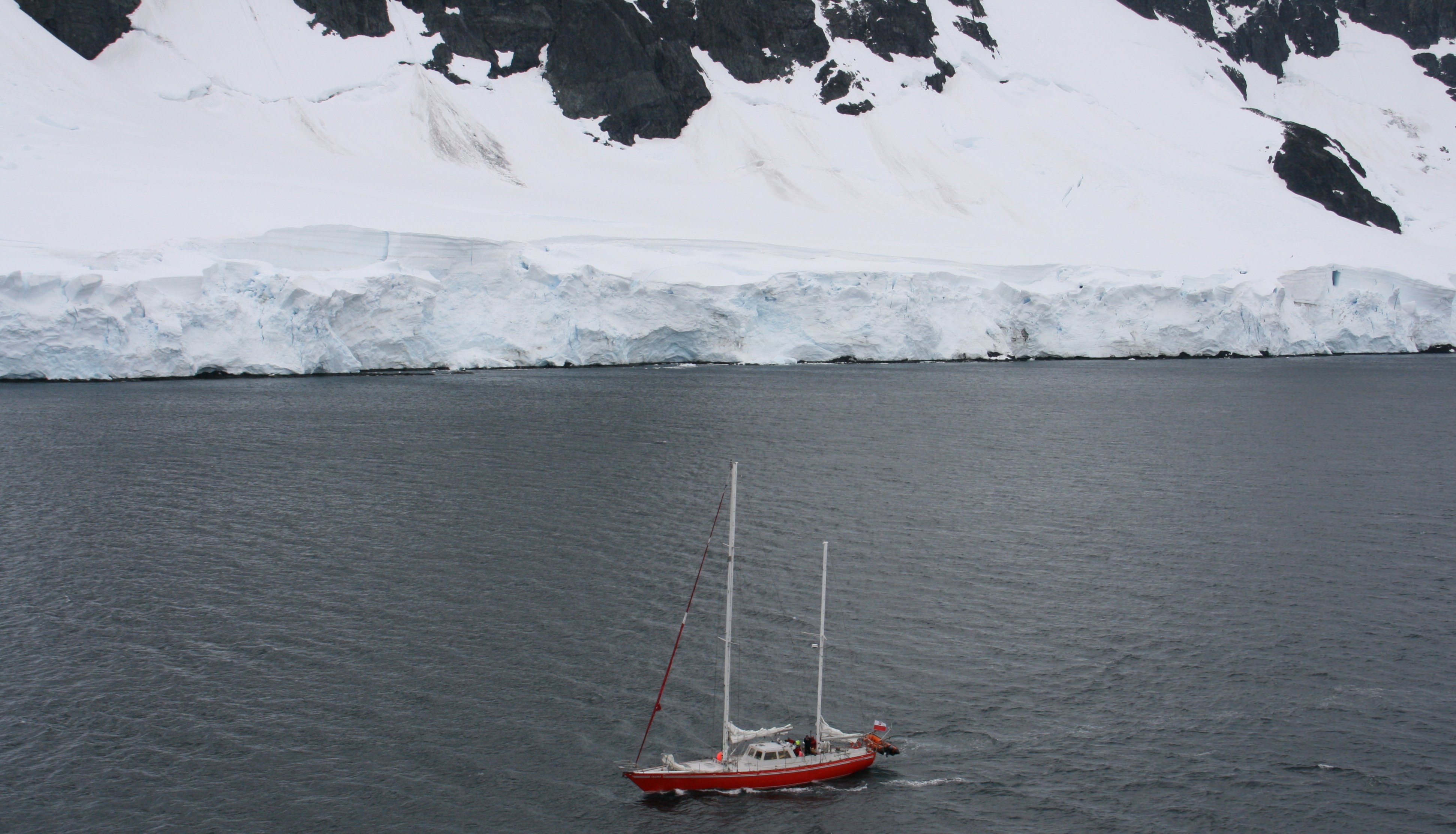
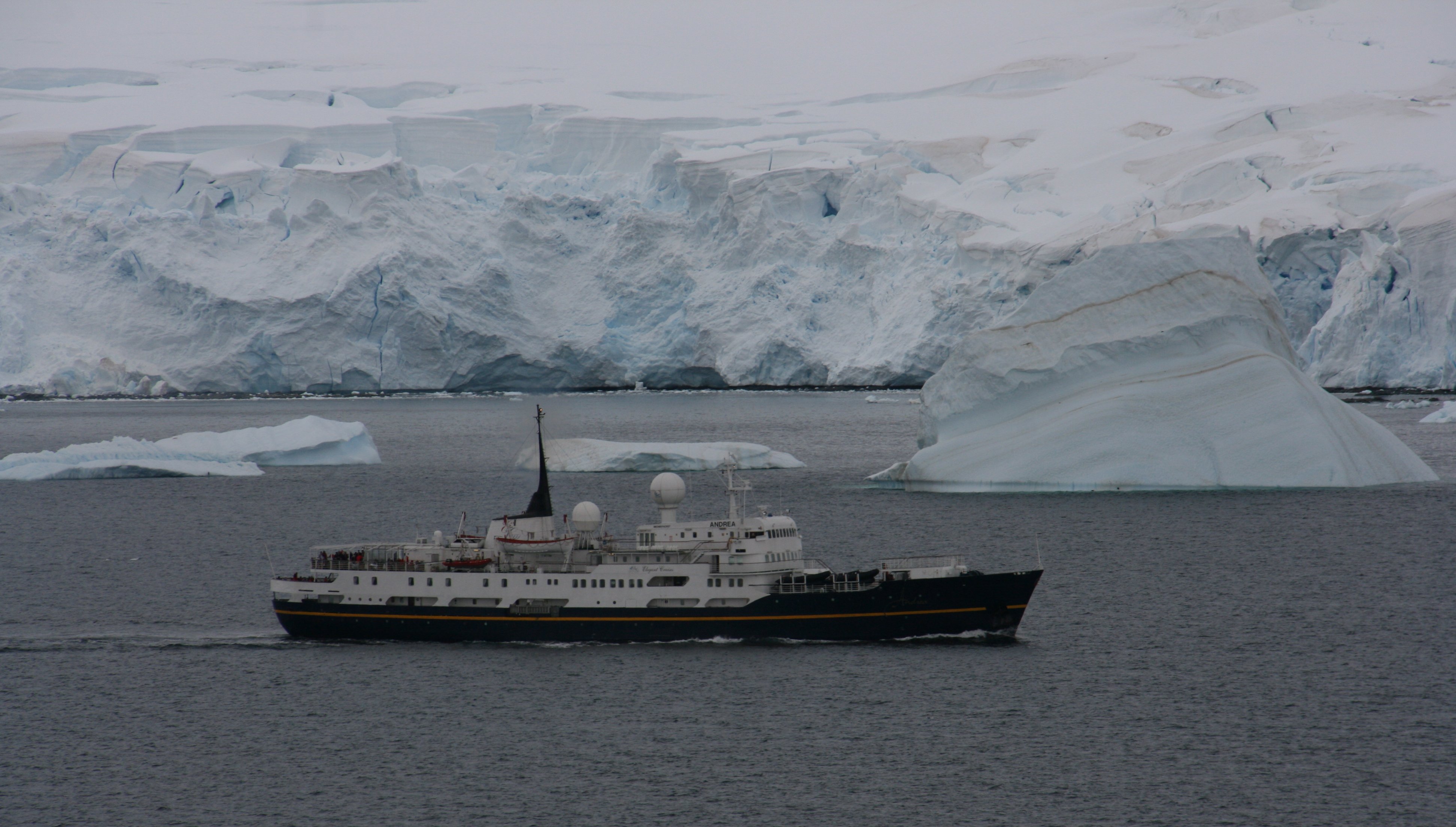
I would love to return to Antarctica someday on a smaller ship like the one seen in the left photo.
While this cruise was beautiful with all the comforts of home,
being able to actually step foot on Antarctica is still a goal of mine.
This is the farthest south that large cruise ships are allowed to travel.
The picture on the right is the twin peaks of Booth Island.
The highest point of the island is 3215-feet Wandel Peak,
as of 2003 still unattained despite several attempts; Damien Gildea called it
"one of the most challenging unclimbed objectives on the Antarctic Peninsula".
At this point we turned around and headed north and out of Antarctica.
11 minute video of Neumayer Channel in Antarctica. |
|
Howdy Folks, This is our third day cruising through Antarctica. Woke to thick fog and rain but by the time we got to the most scenic part of the day the fog had lifted and the rain had stopped. There was also no wind, so I was able to spend five consecutive hours on the open decks without freezing to death. The bad news of the day was that there were no blue skies today and the tops of some of the mountains were covered in clouds. We saw a lot of spectacular scenery. There were glaciers, icebergs and mountains all around us for almost the entire day. But without any sunshine or blue sky the pictures came out a little gray and dingy. Below is an iceberg in Neumayer Channel. We spent the entire day cruising the Neumayer Channel. Below you can see a sailing vessel in the Neumayer Channel. Below you can see my ship navigating the icebergs in Neumayer Channel. In the picture below you can see one of the many glaciers we passed today. We sailed down the Gerlache Strait and around Wiencke and Anvers Islands. We also saw a few whales today. Unfortunately none of them did any leaping out of the water and none of them came very close to the ship. Below you can see an expedition class cruise ship that passed us today. There is an iceberg just behind it which you can see is much larger than the ship. A very small sail boat also passed us today. You'd have to be very adventurous to brave these water in something that small. I am writing this at 5:00pm and we have just been informed by the Captain that we have to change our course due to some very bad weather heading our way. We will have to cancel our fourth and final day in Antarctica. There is a extremely severe gale coming in from the west. We are now sailing due north at top speed in the hopes that we make it across the Drake Passage before the worst of the storm hits. Drake Passage is known for its rough waters even on a good day. Attempting to cross it during a strong gale would be interesting but something the Captain is trying to avoid. I went through this almost same exact thing last summer when I rounded the southern tip of Greenland. It got a bit bouncy but we made it through fine. The good news is that we will round Cape Horn 20 hours ahead of schedule and be able to cruise through the scenic Begal Channel during daylight hours instead of at night like originally planned. That's it for today. Watch the headlines tomorrow, if they read "Cruise liner makes a fool hearty attempt to cross Drake Passage during gale," then I may be late getting home. Tim |
This 40 minute video covers the entire trip down the Antartic Peninsula. |
The following video was recorded back on New Year's Eve 2006 when I flew over the continent of Antarctica.
It gives a different perspective of the frozen continent and I wanted to include it on this Antarctica page.
22 minute video of my New Years Eve 2006 flight over Antarctica. |
I purchased a brand new camera prior to taking this trip. It was capable to shoot in HD.
But for some incredibly stupid reason I decided to shoot the videos in SD. I'm must have been insane.
I did shoot one short video in HD and you can find that below.
 TWO MINUTE ANTARCTICA IN HD VIDEO TWO MINUTE ANTARCTICA IN HD VIDEO |

Click on the arrow above to continue to my next adventure,
CAPE HORN & THE BEAGLE CHANNEL.
| TIM'S HOME PAGE SITE INDEX | |||
|---|---|---|---|
| Areas | Description | # of Pages | |
| About Me | Current Picture of me and my home. Information about myself. | 2 | |
| Biography | Pictorial biography of myself. Pictures range from birth to adulthood. | 4 | |
| Family File | Pictures of my family and a little information about them. | 12 | |
| Local Spotlight | Pictures, Links, and Information for Indianapolis, Richmond, Plainfield, and Mooresville, Indiana. | 6 | |
| Tim's Travels | Pictures, videos and travelogs from my travels around the world. | 409 | |
| Vacation Videos | Over 1500 videos from my travels around the world. | 1 | |